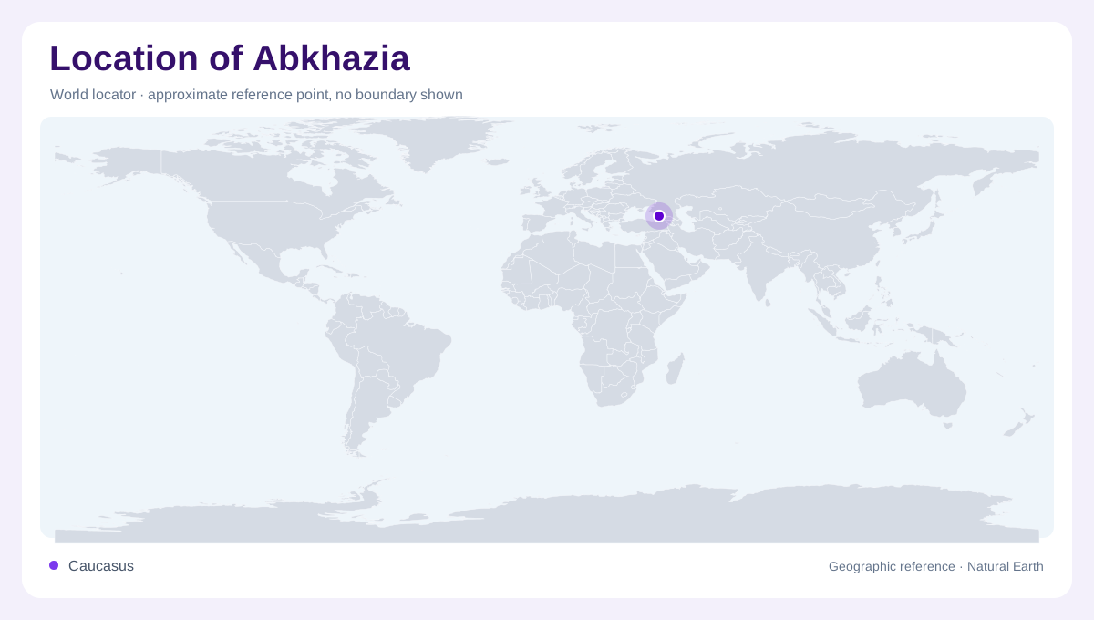
A disputed coastal territory
Abkhazia occupies a Black Sea coastal setting on the southern side of the Greater Caucasus. Its political status is disputed, and a separate map entry should not be read as an endorsement of sovereignty or universal recognition. Physical geography offers a clearer starting point: sea to the southwest, rising mountain country inland and river corridors connecting the two. The FAO regional map identifies Abkhazia within its Georgia coverage and labels Sukhumi on the coast. Different cartographic conventions may describe the territory differently, but the relationship between shoreline and mountain slopes, and the valleys descending from them toward water, remains essential to understanding the place represented.
The Black Sea edge
The coast belongs to the eastern Black Sea region rather than the Caspian basin farther across the Caucasus. This distinction is fundamental because the larger mountain system stretches between two separate seas. Along Abkhazia's seaward edge, the meeting of low coastal ground and rising inland terrain gives the outline a strong directional structure. Moving along the shore and moving inland are therefore different geographic journeys. The first follows the maritime margin; the second crosses changes in elevation. A small map can flatten this contrast, especially when the mountain relief is omitted and only political boundaries remain visible beside the water.
The Greater Caucasus backdrop
The Greater Caucasus forms a major mountain spine extending eastward from the Black Sea region toward the Caspian. Abkhazia belongs to its western southern flank, not the separate Lesser Caucasus farther south. NASA's regional imagery shows how vegetation and snow patterns vary with elevation across the range. That regional context helps interpret the inland backdrop without assuming every mountain slope has the same conditions. High ridges, lower wooded slopes and valley floors occupy different levels within a short horizontal distance. The terrain must therefore be read as a sequence of elevations rather than a uniformly green interior behind the coast.
Sukhumi and the Inguri region
Sukhumi provides a coastal settlement anchor, while the Inguri river region helps orient the southeastern side of the wider map. The river is part of western Georgia's Black Sea drainage, connecting mountain water with the lower landscape. Nearby labels such as Zugdidi belong to the surrounding regional frame and should not automatically be included within Abkhazia because they appear close to its name. The distinction matters when a locator uses large text or simplified lines. Rivers, settlements and administrative boundary markings each convey different information; proximity between their symbols does not establish an identical jurisdiction or political relationship.
Boundaries without false certainty
The European Union Monitoring Mission uses the term administrative boundary lines in discussing the conflict context around Abkhazia. That terminology is not interchangeable with an uncontested international border. A geographic article should preserve the distinction and avoid inferring access, control or legal status from a line alone. Its practical contribution here is spatial: locating the Black Sea margin, the Greater Caucasus slopes, Sukhumi and the neighbouring Inguri drainage. These features provide orientation without importing changing crossing arrangements or political assertions. Read at that level, the map explains a coastal mountain territory while leaving disputed sovereignty explicitly unresolved.