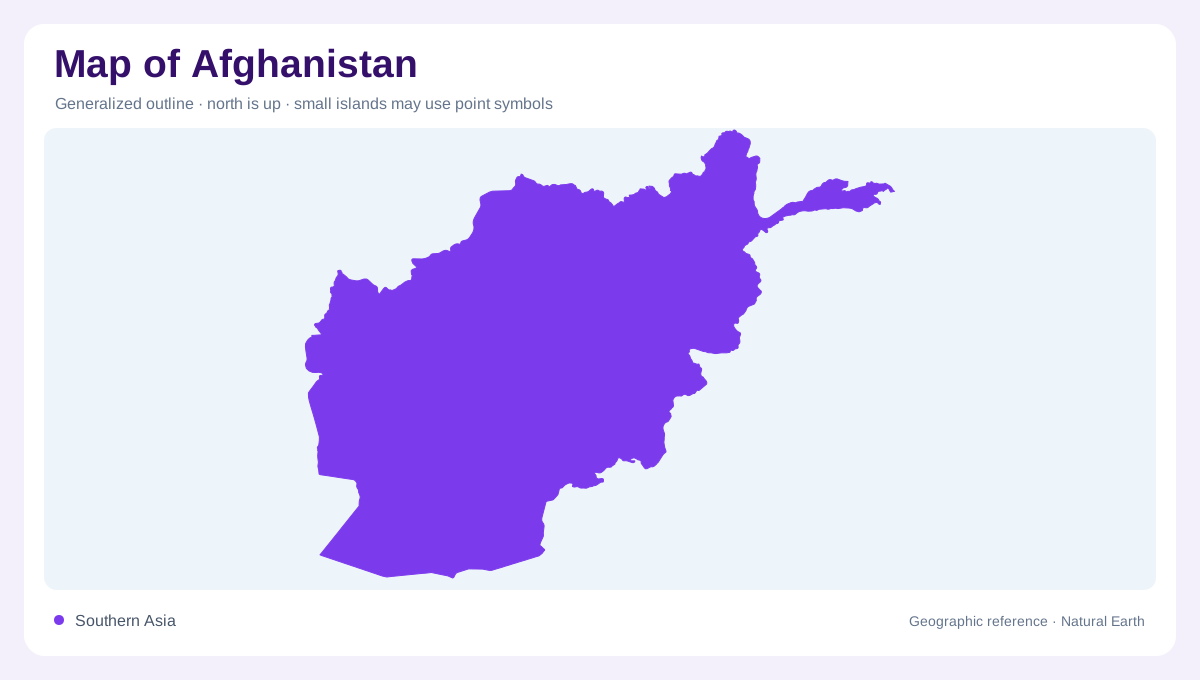
A mountainous meeting point
Afghanistan occupies an inland position between Iran, Pakistan and the Central Asian republics. China touches its far northeastern extension, making the outline more complicated than a compact block between familiar neighbours. Mountains and hills dominate much of the country, but the spaces between them matter just as much. River valleys provide contrasting strips of lower ground, while broad dry landscapes open toward the southwest. A physical map therefore explains Afghanistan more effectively than a border outline alone. Elevation separates adjacent places, and a short horizontal distance can conceal a substantial climb across ridges dividing one drainage system from another.
Northern plains and divided drainage
Along the northern side, the Amu Darya connects Afghanistan to a wider inland drainage system extending toward the Aral basin. Tributaries descending from the highlands do not all reach that major river. Some northern streams lose their flow within Afghanistan, an important distinction when tracing thin blue lines across dry plains. Irrigated land often follows these watercourses rather than spreading evenly across a province. The resulting pattern combines broad lowlands with concentrated agricultural corridors. Reading the river network before the administrative boundaries helps explain why adjoining areas can share similar terrain yet depend on different sources of seasonal water.
The Kabul basin faces east
The Kabul river system differs from the country's inland basins because it connects with the Indus in Pakistan and ultimately the sea. The Kunar joins the Kabul near Jalalabad after crossing from Pakistan into Afghanistan. This arrangement makes the eastern drainage a transboundary network, not simply a set of rivers originating and ending within one national outline. Mountain relief remains essential to understanding these connections. A river can pass through a narrow corridor while nearby land rises sharply above it. The eastern basin also receives some monsoon influence, unlike much of the more continental and arid Afghan interior.
Helmand and the western waters
The Helmand drains toward the Sistan wetlands along the border with Iran. Its destination contrasts with the oceanward course of the Kabul, illustrating how separate parts of Afghanistan belong to fundamentally different water systems. Farther northwest, the Hari Rud and Murgab extend toward Turkmenistan. These rivers link mountain catchments with dry downstream country, where the amount and timing of water affect the landscape visible around their channels. Wetlands should not be interpreted as permanently fixed blue shapes. In such arid basins, a mapped wetland boundary describes a geographic setting whose inundated extent can vary with water availability and season.
Snow, fields and map scale
Winter snow in the central Afghan high mountain ranges stores water that becomes runoff during warmer months. This seasonal connection helps explain cultivated valleys below otherwise dry slopes. Traditional kareze systems draw groundwater through gently sloping underground tunnels, adding a water network that ordinary surface maps may not show. Northern rainfed fields also complicate any simple equation between agriculture and irrigation. At national scale, distinguish mountains, plains and the major basins; at valley scale, examine tributaries and cultivated ground. Together these layers reveal how elevation and water organize Afghanistan's geography without assuming that a visible line establishes road access or dependable passage through mountain terrain.