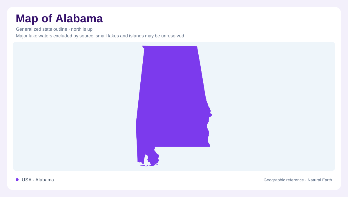
A river framework for Alabama
Alabama's waterways provide a particularly useful framework for understanding the state from northern mountains to coastal wetlands. Its northern rivers do not all lead directly toward its own coast, while much of the interior connects through a branching system that reaches Mobile Bay. This distinction cuts across the simple impression of a state stretching southward from Tennessee. The Alabama River itself begins within the state, formed by two already substantial rivers. Farther downstream, another confluence changes its name again. Following those junctions gives more geographical information than following the outline alone: they reveal connections between uplands, inland settlements, lower river corridors, and coastal wetlands.
The Tennessee River's northern arc
The Tennessee River enters Alabama from Tennessee, crosses the northern part of the state, and eventually turns north again. Its course connects a succession of reservoirs: Guntersville, Wheeler, Wilson, and Pickwick. These are impounded parts of a river system rather than four unrelated natural lakes. Around Wheeler, the river passes the Huntsville area and approaches Decatur; farther west, Wilson and Pickwick continue the sequence. Tributaries such as the Paint Rock and Elk rivers extend the basin into surrounding country. The northern arc therefore belongs to a drainage geography that crosses state boundaries repeatedly instead of stopping at Alabama's perimeter.
Lookout Mountain and Little River
Northeastern Alabama offers a different scale of water and terrain. Little River runs for much of its length across the top of Lookout Mountain, an unusual relationship between a river and an elevated landform. Its canyon landscape includes waterfalls, sandstone cliffs, forested uplands, and steep edges. This makes the name mountain insufficient by itself: the upland contains an incised river system, not simply an isolated summit. Little River Canyon also places Alabama within the Southern Appalachian landscape. Its local relief contrasts with broad reservoirs in the Tennessee basin and with the increasingly low wetland country near Mobile Bay.
Confluences through the interior
Just north of Montgomery, the Coosa and Tallapoosa rivers unite near the fall line to form the Alabama River. Downstream, the river passes through a sequence of impoundments commonly called Jones Bluff, Millers Ferry, and Claiborne. Selma lies along the Millers Ferry reach. These names describe portions of a continuous river corridor, so a reservoir label should be read alongside the underlying river name. Below Claiborne, the lower Alabama continues toward its meeting with the Tombigbee. Their combined waters form the Mobile River, connecting inland catchments with the estuary rather than allowing either original river name to continue unchanged.
Wetlands before the bay
North of Mobile Bay, the Mobile Delta spreads into a network of rivers, creeks, lakes, bayous, marshes, and wooded bottomlands. Tidal influence connects this freshwater drainage system with coastal processes. Cypress and tupelo forests distinguish parts of the delta from its more open marshes, illustrating how the same lowland region contains different environments. The delta should be understood as a branching wetland complex rather than a single channel ending at the sea. Together, the Tennessee arc, Appalachian canyon, central confluences, and Mobile wetlands explain Alabama through changing relationships between flowing water and land, from elevated terrain to the coastal margin.