An island region between neighbours
The Åland Islands occupy a northern Baltic maritime setting between Sweden and southwestern Finland. Their position gives the region two geographic relationships at once: toward the Stockholm area in the west and toward southern Finland in the east. An outline drawn around the whole archipelago contains extensive water as well as land. That distinction matters when comparing Åland with a mainland region of similar apparent size. The islands form an autonomous region of Finland with Swedish as its language. Geography and administration therefore need separate attention: a Finnish national colour on a map does not describe the region's linguistic or constitutional character.
The main island changes the picture
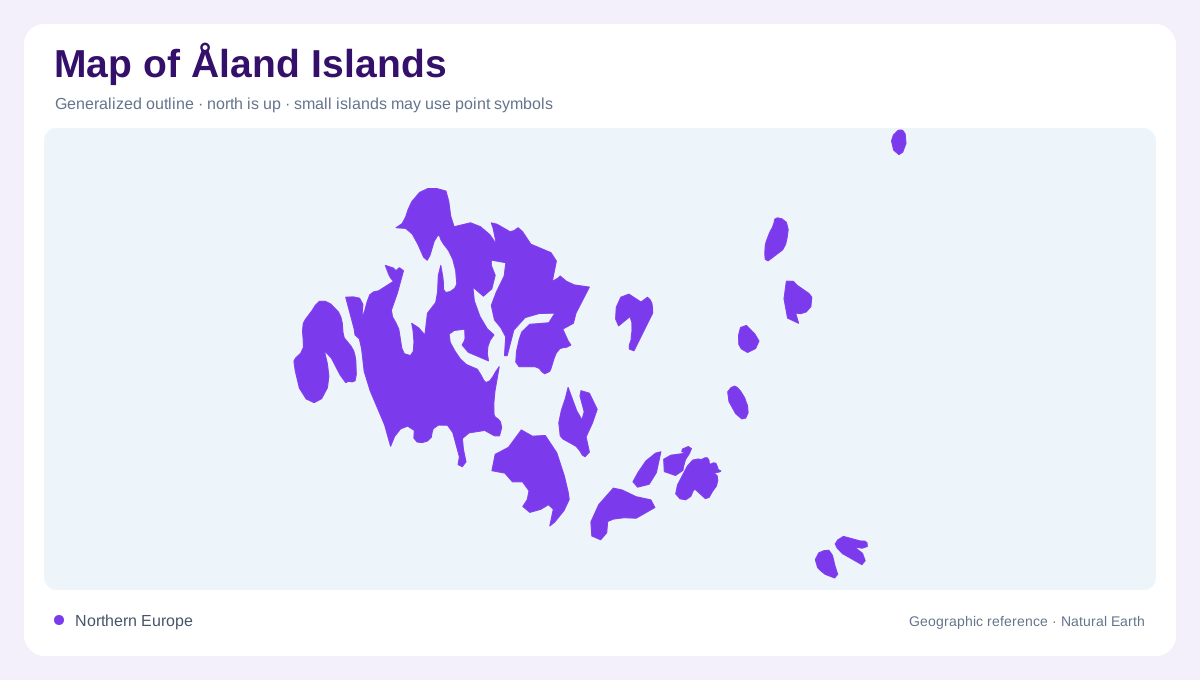
Åland's largest island accounts for most of its land area and an even larger share of its settlement. This creates an uneven geography within an archipelago that might otherwise look like hundreds of equally important fragments. On a regional map, first identify this larger western landmass before following the smaller islands outward. Its dimensions are modest, but an irregular shoreline means that distances across water and distances along land are different questions. Bays and projecting pieces of coast interrupt any simple grid. The main island's prominence is a useful organizing fact, not a reason to omit the outlying island communities.
Mariehamn and neighbouring countryside
Mariehamn is Åland's only town and its principal political and economic centre. The surrounding countryside belongs to other municipalities, so the town's urban importance should not be confused with the extent of its administrative boundary. Jomala, its neighbour, is a separate municipality. A settlement map and a municipal map therefore tell different but complementary stories about the same area. Mariehamn concentrates institutions and services, while surrounding land forms part of a wider inhabited landscape. The town was founded in 1861, making its planned urban history distinct from the longer history of habitation and maritime activity across the islands around it.
Small municipalities across the water
Åland has sixteen municipalities, including island communities whose small land areas can disappear on a simplified overview. Sottunga illustrates this fine grain: it is a municipality within the archipelago rather than a district of Mariehamn. Municipal labels consequently deserve enough space to remain attached to their actual islands. Enlarged insets can clarify these places, provided their separate scales remain obvious. A distant island enlarged beside the main island has not become physically adjacent to it. The administrative pattern is evidence of distinct communities distributed across water, and cannot be read as a continuous suburban fringe around the principal town.
Maritime landscapes and historical sites
The eastern side of the main island includes Bomarsund, where a nineteenth century fortress became central to Åland's history. Its location adds a historical anchor away from Mariehamn and draws attention to shores facing the outer archipelago. Agriculture, fishing and shipping have all shaped the islands, producing a landscape whose importance extends beyond town symbols. At a broad scale, Åland sits between neighbouring economic regions; at a closer scale, fields, coastal settlements and individual islands become the meaningful units. Keeping those scales distinct preserves both the main island's weight and the dispersed geography that makes the region an archipelago.