Mountains beside the western sea
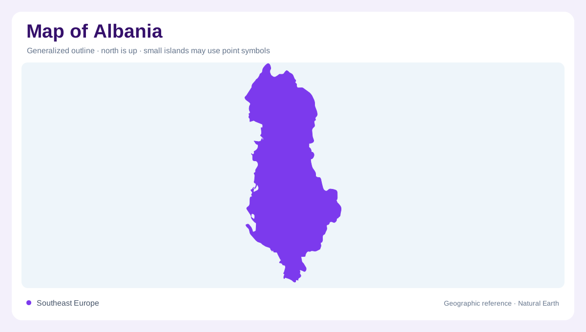
Albania occupies the western side of the Balkan Peninsula, where mountainous country descends toward the Adriatic and Ionian seas. Its outline is elongated broadly north to south, but water often moves across that orientation, carrying mountain runoff toward the western coast and the waters beyond its shoreline. This creates a landscape better understood through valleys and basins than through a single central axis. The Vjosa in the southwest and the lakes near the eastern border illustrate two very different relationships between relief and water. One drains openly toward the sea; the other includes enclosed mountain basins whose connections are partly hidden beneath the ground.
Following the Vjosa downstream
The Vjosa begins in the Pindus Mountains of Greece, where it is known as the Aoös. It continues northwest into Albania, making its basin international before the river approaches the Adriatic. The Sarandapor joins near the border, adding another mountain tributary to the system. Upstream gorges constrain the channel between steep slopes, while farther downstream the valley allows the river more room. Following this sequence explains why the same river can look narrow and tightly directed in one stretch but spread across a much wider valley floor elsewhere. A national boundary does not mark the start of its headwaters.
Gravel bars and tributary valleys
In its middle reaches, the Vjosa separates around gravel and sand bars, producing braided channels that differ from a single fixed blue line. The Drino, Bënça and Shushicë belong to the tributary network that feeds the main river. Each connects a separate valley to the wider drainage system. Nearer the sea, the lower river takes a more recognisably meandering course. These changes are geographic processes, not cartographic inconsistency: sediment, gradient and available valley space help determine channel form. At a detailed scale, exposed bars and side channels make the river corridor broader than its most conspicuous flowing branch alone.
Two ancient mountain lakes
Ohrid and Prespa occupy a mountain border region shared among Albania, North Macedonia and Greece. They are neighbouring lakes, not two names for one continuous body of water. Ohrid is the larger and deeper of the pair described in NASA's regional account. Their basins developed within tectonic depressions, where movement of the Earth's crust helped create space for water to accumulate over long periods. The surrounding high terrain gives these eastern waters a very different setting from Albania's coastal river mouths. A regional view is especially useful here because both the mountains and the lake systems extend beyond national boundaries.
Water beneath the divide
Prespa stands higher than Ohrid, and water passes between their basins through underground channels in karst terrain. This concealed connection means a surface ridge does not tell the whole drainage story. Springs, including underwater springs, contribute to Ohrid's water supply. On an ordinary map the lakes can appear isolated from each other because no large connecting river crosses the intervening land. Their hydrology shows why geology matters alongside elevation. Taken together, the eastern lakes and the Vjosa trace Albania's varied waterscape: ancient basins, permeable limestone, tributary gorges, shifting gravel channels and a final opening toward the western sea.