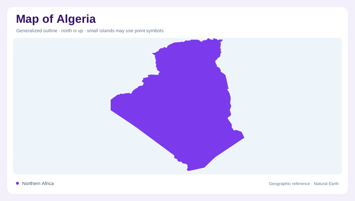
From the Mediterranean inland
Algeria stretches south from the Mediterranean into the Sahara, joining a relatively narrow northern margin to a much larger desert interior. This difference in scale is the starting point for reading the country. The coast gives an immediate northern reference, but it does not represent the landscape of most of the territory. Moving inland crosses mountain belts and elevated country before reaching extensive arid regions of the Sahara. A northward concentration of agriculture follows more favourable soils and rainfall. Consequently, equal areas on a national map can contain very different patterns of cultivation, water availability and settlement, even within the same national boundary.
Two Atlas belts
The Tell Atlas and Saharan Atlas create a broad mountain framework across northern Algeria. They should be distinguished rather than merged into one narrow line of peaks. Between the belts, elevated interior country includes depressions associated with chotts, the shallow basins characteristic of this part of North Africa. The arrangement produces a sequence of coast, mountain country, interior plateau and another mountain margin. On a relief map, changes in elevation explain this structure more clearly than provincial borders. The mountains also help separate Mediterranean influences from increasingly dry conditions inland, although local rainfall varies considerably across the northern landscape.
Basins within the dry interior
The Sahara is not an uninterrupted sheet of loose sand. Algeria's desert includes depressions, rocky uplands and dune areas, with major variations in elevation. Some low ground lies below sea level, while southern highlands rise far above the surrounding terrain. A simple yellow desert colour can conceal these contrasts. Shaded relief reveals the difference between a basin floor and a mountain massif; surface mapping distinguishes dunes from rock. These are separate geographic questions. Identifying both helps avoid the misleading impression that distances across the Algerian interior involve a uniform landscape with interchangeable conditions from one place to the next.
Rainfall and northern water
Algeria's rainfall generally contrasts sharply between the Mediterranean north and the southern desert. The northeastern coast around Skikda belongs to the wetter part of the country, yet even this area experiences a pronounced dry season. Rivers and reservoirs therefore need to be understood through seasonal water supply, not just their appearance as blue features. Winter and early spring precipitation are especially significant. Agricultural land clustered in northern districts reflects this climatic advantage, together with soil conditions. A countrywide rainfall average would obscure precisely the regional differences that make a physical map useful for understanding where cultivation can be sustained.
Groundwater beneath the Sahara
In the Saharan interior, groundwater adds another dimension to the map. Deep stored water is different from a river renewed by each season's rainfall, and an oasis is not evidence that the surrounding desert has abundant renewable surface water. FAO distinguishes these southern groundwater resources from northern water systems. This contrast helps explain why irrigated patches can appear far from the wetter Mediterranean belt. Read such places in relation to their local water source and basin setting. Algeria's outline becomes more informative when combined with its mountain structure, climatic gradient and the difference between flowing surface water and underground reserves.