Several islands across the Pacific
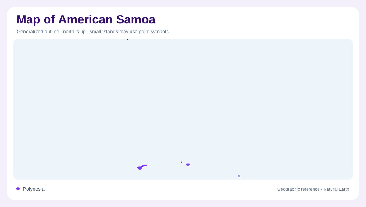
American Samoa is a dispersed group of islands in the South Pacific, rather than another name for the independent country of Samoa. Tutuila is its largest island, while the Manuʻa group forms another important part of the territory. Swains Island and Rose Atoll also belong in a complete geographic account. Their separation means that a map centred tightly on Tutuila cannot represent the whole territory without additional space or insets. Ocean distances are part of this geography, not empty background. Each island's position should remain clear even when a layout enlarges its land area to make small features easier to see.
Tutuila from shore to cloud forest
Tutuila contains contrasting coastal and elevated environments. The National Park Service describes a sequence including shoreline vegetation, tropical rainforest, ridge habitats and cloud forest. These changes show how a small island can contain pronounced ecological differences between sea level and higher slopes. A green land cover colour alone would hide that variety. Coastal settlement and forested terrain should likewise be distinguished rather than treated as an evenly inhabited surface. Pago Pago provides a familiar location reference, but the island's physical character extends from its coastal waters to the upper slopes where moisture and elevation shape a different kind of landscape.
The islands of Manuʻa
Ofu, Olosega and Taʻu belong to the Manuʻa group. Their separate shorelines remain significant even when they share a group label. Fringing reefs around these islands connect the shallow marine environment with steeply rising island terrain. Taʻu also supports higher forest environments, emphasizing the close juxtaposition of tropical sea and mountain vegetation. A map of national park areas is not the same thing as a map of the entire island group: protected boundaries cover selected places. Keeping those meanings separate helps readers understand both the islands' physical arrangement and why a park illustration may leave some nearby land outside its coloured area.
Rose Atoll's square reef
Rose Atoll lies east-southeast of Pago Pago and presents a markedly different form from the larger high islands. Its roughly square reef encloses a lagoon and supports two tiny islands, Rose and Sand. A natural pass connects the lagoon with the surrounding ocean. Sand Island can change shape after substantial storms, making a detailed outline inherently dependent on the survey date. The atoll's reef, lagoon and exposed land occupy different zones, even if a small map reduces them to one dot. Its Samoan names referring to seabirds also reflect the importance of wildlife within this remote oceanic environment.
Land cover and territorial scale
Swains Island adds a further separated component, so neither the main island nor the national park alone defines American Samoa's full extent. Across the territory, coastal reefs and island forests require different kinds of mapping. A reef boundary describes shallow marine habitat, while a contour records elevation on land. Their close proximity does not make them interchangeable. Reading the territory through Tutuila, Manuʻa and its outlying islands preserves these differences. It also avoids inventing a continuous land network across ocean gaps or treating the small uninhabited wildlife setting of Rose Atoll as though it were another conventional urban destination.