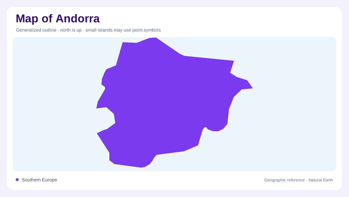
A small mountain country
Andorra occupies a compact inland position in the mountainous eastern Pyrenees of Europe between France and Spain. Its small outline contains substantial changes in elevation, so area alone is a poor guide to the complexity of its landscape. Valleys and slopes organize the country more strongly than a simple north to south axis. Administrative parishes divide that terrain, but natural catchments can cross their boundaries. The most useful map reading begins with mountain relief and drainage, then adds settlements and parish names. This approach preserves the difference between a closely packed political map and the physical distances created by steep slopes and high ground.
The southeastern Madriu landscape
The Madriu-Perafita-Claror valley occupies southeastern Andorra and forms a substantial part of the country's mountain landscape. Its protected cultural landscape extends across Andorra la Vella, Escaldes-Engordany, Encamp and Sant Julià de Lòria parishes. That arrangement demonstrates why the valley cannot be assigned neatly to one administrative area. A boundary map and a catchment map describe different divisions of the same land. The valley's position also gives an eastern and southern counterweight to an overview dominated by the principal urban corridor. Naming the full landscape preserves the connected tributary areas rather than reducing it to a single point of interest.
A steeply descending catchment
The Madriu valley has a large difference in height between its upper and lower reaches. Pic de la Portelleta stands at its high end, while the valley floor descends through a much lower sequence of terrain. This vertical range is central to the landscape's character. A measured line along a map does not capture the climb or descent associated with the same route on the ground. Contours, watercourses and slope shading therefore contribute different information. Together they show a mountain basin whose apparent compactness conceals substantial relief, helping explain why nearby locations can belong to distinctly different environmental settings.
Stonework within the high country
The Madriu landscape contains shepherds' buildings, enclosed former garden plots and livestock grazing areas. These traces make it a cultural landscape as well as a mountain environment. Walls and paved paths record how people used limited workable spaces among slopes and high pasture. Their presence challenges an interpretation of the valley as empty wilderness simply because it lacks a conventional town pattern. On a detailed map, small built features can have significance disproportionate to their footprint. They show how human activity fitted the terrain, preserving evidence of land use that is not explained by a broad natural vegetation colour alone.
Parishes and the surrounding valleys
Andorra's parish names recur on maps of settlements, administrative areas and mountain landscapes, so their meaning depends on context. Andorra la Vella can identify the capital setting while also naming a parish extending beyond a dense urban core. The same need for distinction applies to Escaldes-Engordany and the other parishes crossed by the Madriu landscape. At national scale, the country sits within the Pyrenean barrier; at valley scale, separate slopes, tributaries and historic working areas matter. Keeping both scales visible explains how a very small state contains connected mountain environments that cannot be understood from town symbols alone.