A coast beside an elevated interior
Angola faces the Atlantic on the western side of southern Africa. A narrow coastal plain contrasts with a broad elevated plateau interior, creating one of the country's most important physical divisions. The plateau occupies much of the land, so the coastline alone gives an incomplete impression of Angola's terrain. Moving eastward from the ocean generally involves a substantial rise before reaching extensive inland surfaces. This relationship helps explain why neighbouring coastal and inland districts can differ in temperature, rainfall and drainage. A relief map makes the transition visible, turning a large national outline into distinct coastal and plateau environments.
Cabinda requires a separate view
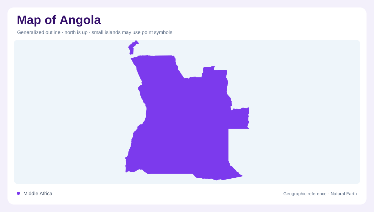
Cabinda is a geographically separated northern component of Angola, bordered by the two Congo countries and the Atlantic. Its position must remain visible on any complete national map. An inset can clarify the small territory, but should preserve its separation from the main Angolan landmass. The Maiombe forest provides a distinctive environmental reference within Cabinda. That humid northern setting differs markedly from the dry southwestern coast. A single national vegetation colour would therefore conceal important contrasts at both ends of Angola. Cabinda belongs in the country's coverage without being visually joined to land from which it is geographically separated.
Plateau valleys and river origins
Angola's central plateau is cut by valleys whose flatter bottoms can contain wet ground. These valleys differ from the surrounding higher surfaces even where both occupy the same broad elevation zone. Rivers descending toward the coast cross a relatively rapid change in height, while other drainage travels toward neighbouring countries. The Kwanza, Cunene and Kubango are major named rivers in this wider network. Angola's role as an upstream country is especially important: water originating on its elevated land contributes to environments beyond its boundaries. Catchment maps therefore explain regional connections that cannot be inferred from provincial outlines or settlement symbols.
Rainfall and the Benguela influence
The cold Benguela Current and the altitude of the interior modify Angola's tropical setting. Coastal dryness contrasts with wetter northern areas and high plateau country. This produces a strong environmental range rather than a uniform climate shared by all places at similar latitude. The southwestern provinces of Namibe, Huíla and Cunene include particularly dry landscapes. Farther north, different moisture conditions support other vegetation communities. A rainfall map is useful here because the Atlantic frontage does not automatically imply abundant precipitation. Ocean temperature, inland height and regional position combine to shape the land cover visible across the country's considerable north to south span.
Cities within contrasting regions
Luanda provides the capital's coastal reference, while Huambo and Lubango identify important inland settings on the plateau side of the country. Their locations make the coast-interior distinction more concrete than a general description of altitude. Benguela and Namibe add further Atlantic references along a long shoreline with changing environmental conditions. No one city represents Angola's entire physical character. Reading the urban points against relief, river valleys and vegetation reveals how settlement occupies contrasting regions. The complete national picture includes Cabinda's forested setting, the main coastal plain, inland plateau valleys and the dry southwest, all connected within a geographically varied country.