At the northern end of the Leewards
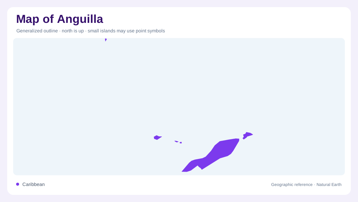
Anguilla lies at the northern end of the Leeward Islands in the eastern Caribbean. Its long, narrow low lying island form is more informative than a single island symbol placed in a regional sea. The main island extends much farther along its length than across its width, so coast and interior remain close together. A north arrow and scale help preserve this relationship when the island is rotated to fit a page. Its location also distinguishes Anguilla from larger islands farther west. Reading the surrounding Caribbean context first prevents the compact local map from obscuring how the island fits within a wider chain.
Low relief across an elongated outline
Anguilla is a low, comparatively flat island, unlike many of the steep volcanic landscapes associated with the Caribbean. Small rises and coastal indentations can still matter even without dramatic mountains. A terrain map should therefore use enough detail to show local variation without implying a mountainous interior. The narrow outline also means that the opposite shores can appear deceptively close on a small screen. Their proximity is a landform relationship, not a statement about particular routes. Distinguishing along-island distance from cross-island distance gives a clearer picture of Anguilla's shape and the amount of land enclosed by its coastline.
The Valley as an inland reference
The Valley is Anguilla's capital and offers a named reference within the main island. Its importance should not make it a substitute for the whole territory. An administrative centre, a settlement footprint and an island outline are different geographic features, even when a small map places their labels close together. The capital's position helps orient nearby land, while coastlines provide a separate framework around it. Reading both avoids a purely beach based impression of Anguilla. The island contains an inhabited interior as well as coastal places, and the capital belongs to that wider pattern of land use and settlement.
Sandy Ground and the marine margin
Sandy Ground Bay is one recognizable coastal reference, illustrating how an indentation gives local shape to an otherwise slender island. Beyond the shoreline, reef environments extend the geography into shallow water. A reef edge should not be confused with the boundary of exposed land, and a bay is not simply empty space between two labels. Its form helps explain the relationship between shore and sea. Coastal maps consequently need to distinguish the island surface, enclosed or indented waters and offshore habitat. These layers describe different parts of the same landscape and remain useful even without any transport or visitor information.
Reefs and living coastal systems
Anguilla's coral reefs support a wider marine environment that includes fish, seabirds and turtles. The ecological importance of these waters extends beyond the land area represented by the main island. A map limited to roads and settlement points would leave that relationship largely invisible. Equally, a reef map cannot describe the distribution of buildings inland. Combining the two perspectives preserves the island's compact terrestrial scale and its broader coastal setting. Anguilla is most clearly understood through its northern Leeward position, elongated low relief, capital reference and reef associated shoreline, with each layer contributing a distinct part of the geographic picture.