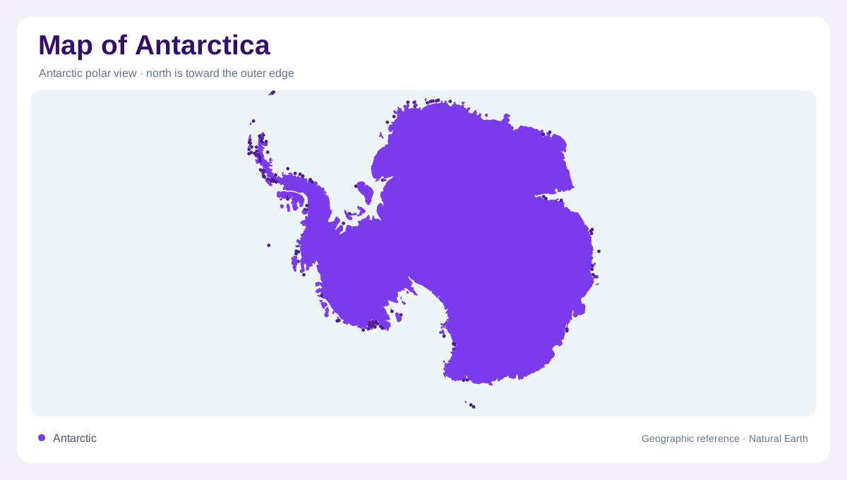
A continent beneath the ice
Antarctica is a continent covered almost entirely by an ice sheet, not simply a floating mass of frozen seawater. Beneath that cover lies a complex landscape of buried mountains, deep valleys and extensive plains. The distinction matters because maps can depict either the ice surface or the underlying land, and those surfaces have different shapes and elevations. Bare rock represents only a small part of what appears above the ice. A pale interior on a general map therefore conceals considerable topographic detail. Reading Antarctica begins by asking which surface is being shown: bedrock, grounded ice, floating ice or the ocean surrounding the continent.
A high and very dry interior
The Antarctic interior stands at substantial elevation, with the South Pole itself far above sea level. The ice sheet contributes to this height, accumulating from snow compressed over long periods. Despite the immense quantity of frozen water, the polar plateau receives little precipitation and is exceptionally dry. Dryness and ice cover are therefore compatible, not contradictory. A map of annual snowfall tells a different story from a map of stored ice. The elevated interior also influences winds, which can descend toward the coast under gravity. These katabatic flows connect the plateau's topography with conditions along Antarctica's lower coastal margins.
Mountains and outward flowing glaciers
Ice generally moves from the continental interior toward the surrounding ocean. Glaciers carry that movement through and around underlying relief, sometimes leaving only high peaks exposed. The Prince Charles Mountains inland from Mawson provide one named reference within this largely concealed landscape. A mountain symbol surrounded by white does not imply an isolated island in the sea; it may mark rock protruding through an ice sheet. Along the coast, pieces of glacier ice can break away as icebergs. Such floating fragments originate from land ice and should be distinguished from the sea ice formed when ocean water itself freezes.
The changing offshore boundary
Winter freezing extends ice far beyond Antarctica's coast, while winds and currents continually rearrange the resulting pack ice. This moving margin is not the permanent continental shoreline. A map that includes sea ice can make Antarctica appear much larger than a map showing only land and attached ice features. Seasonal comparisons require the same definitions before their outlines can be meaningfully compared. Icebergs introduce another moving element offshore, but they do not establish new land boundaries. The visible white edge around the continent consequently combines several processes whose differences are essential to interpreting satellite images and broad polar overviews.
An ocean linking three others
The Southern Ocean surrounds Antarctica and connects the Atlantic, Indian and Pacific oceans. The Antarctic Circumpolar Current flows eastward around the continent, giving the marine setting a continuous relationship that ordinary continent centred maps can obscure. Farther north, Antarctic waters meet warmer waters in a zone associated with rich marine life. Polar geography thus extends beyond the coastline and ice sheet. Maps showing stations identify sites of human activity rather than a conventional network of cities. Territorial labels also require care: the Antarctic Treaty setting makes claims a separate matter from the physical geography described by mountains, ice and ocean.