More than the two largest islands
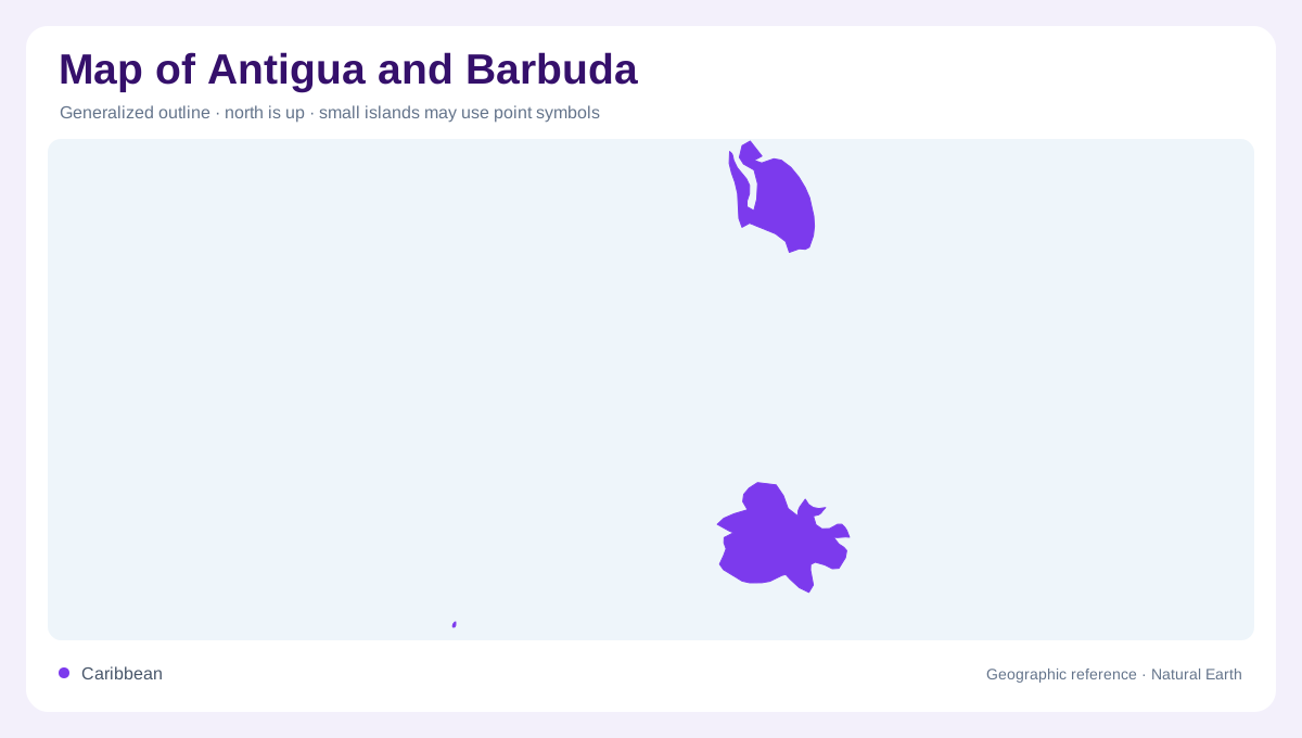
Antigua and Barbuda belongs to the Leeward Islands in the eastern Caribbean region. Its name identifies the two principal inhabited islands, but the national geography also includes geographically separate smaller islands and uninhabited Redonda. These components are separated by sea rather than joined within one continuous outline. Antigua and Barbuda therefore need distinct labels, while Redonda requires a wider regional frame to avoid disappearing beyond a close crop. The country's position northwest of Barbados helps distinguish it from that separate island nation. Similar sounding regional names and compact map labels should not collapse these different places into a single Caribbean location.
Antigua's hills and coastal outline
Antigua combines volcanic origins with limestone landscapes, creating more varied relief than a simple beach image suggests. Boggy Peak is the island's highest point and supplies a useful inland elevation anchor. The hillier southwest contrasts with lower coastal settings around other parts of the island. Following the outline alone would miss those changes in height. Conversely, focusing only on the uplands would overlook how bays and coastal margins divide the island into smaller geographic settings. Antigua's compact size allows mountain, village and shore references to appear close together, but their positions still represent different relationships with the surrounding land.
A southwestern landscape corridor
Bolans and John Hughes provide named reference points in Antigua's southwest. The official tourism account describes rolling hills and wooded landscapes within the region promoted as the Green Corridor. Used geographically, these places help connect the coastal side with the greener interior rather than suggesting the whole island has identical vegetation. The promotional corridor is not a separate island or a natural boundary. Its usefulness is in locating a particular southwestern landscape. St John's, elsewhere on Antigua, supplies the capital reference for the country; it should not be assigned to Barbuda simply because the two island names share one national heading.
Barbuda's lagoon and beach environments
Barbuda lies north of Antigua and has a different physical character, associated particularly with lagoons and long beaches. These low coastal environments create a landscape in which sand, shallow water and land margins deserve close attention. A lagoon is not the same as open sea, even where the water connects through coastal openings. Barbuda also supports breeding frigatebirds, linking the island's habitat geography with a wider marine feeding environment. Its ecological identity should not be reduced to a smaller version of Antigua's hills. The two main islands belong to one country while presenting recognisably different combinations of relief and shoreline.
Redonda beyond the main pair
Redonda lies west-southwest of Antigua, separated from the two principal islands. The official tourism geography description identifies it as uninhabited. It therefore should not receive an invented capital, town network or ordinary resort narrative. Its inclusion changes the national map from a simple pair of neighbouring islands into a more dispersed arrangement. A regional view can show that separation, while close views explain the larger islands individually. Taken together, Antigua's uplands, Barbuda's lagoon margins and Redonda's detached position give the country its geographic structure. The surrounding sea connects this island setting without erasing the distinct outline of each component.