High country between larger basins
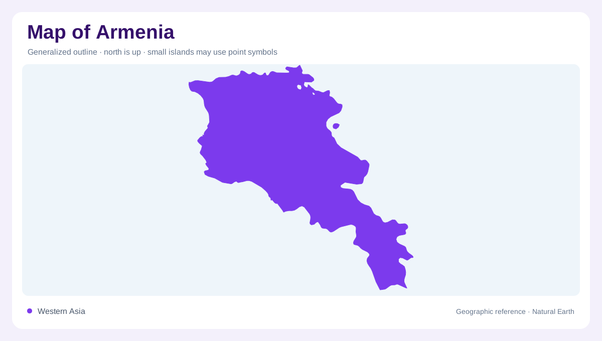
Armenia lies inland in the South Caucasus region, with Georgia to the north, Turkey to the west, Iran to the south and Azerbaijan along eastern and southwestern margins. Its South Caucasian terrain is predominantly elevated and mountainous, so a national outline gives little sense of the vertical distances within it. Rocky ranges separate fertile valleys, while rolling highland surfaces occupy other areas. The southwest requires particular attention because Azerbaijan's Nakhchivan lies beyond Armenia there, separate from Azerbaijan's main territory. Recognizing this arrangement helps distinguish the country's actual geographic neighbours from the simpler east versus west pattern suggested by a small regional map.
Aragats and surrounding uplands
Aragats is Armenia's highest mountain and an essential reference for the country's relief. It is distinct from Ararat, whose name appears in Armenian cultural and valley geography. West and north of Aragats, rolling ground and rocky outcrops contrast with the mountain's higher slopes. This variation matters for interpreting fields and settlements: an upland surface may be comparatively open without being low in absolute elevation. A contour map makes that difference clear. Mountain height, the elevation of a surrounding plateau and the steepness of individual slopes are related measurements, but none can substitute completely for the others when describing Armenia.
Lake Sevan and its outlet
Lake Sevan occupies a prominent eastern position within Armenia's highland landscape. Numerous streams enter it, but the Hrazdan is its single natural outlet. This makes the lake a major collecting feature within a wider drainage network rather than a closed blue shape disconnected from nearby valleys. Its water level has also been affected by human use, so historical shorelines and surface measurements need dates. The surrounding rolling terrain contains rocky outcrops and contrasts with the broad water surface. On a country map, Sevan is an obvious landmark; on a basin map, its tributaries and outlet explain its physical connections.
The Araks and cultivated low ground
The Araks forms important stretches of Armenia's southern and southwestern boundary and ultimately joins the Kura beyond Armenia. Broad fertile valley land contrasts with the narrower valleys between northern and central ranges. These flatter spaces help explain the concentration of cultivation within an otherwise mountainous country. The Ararat valley has hot dry summers and comparatively limited rainfall, so its agricultural appearance cannot be interpreted simply as evidence of a wet climate. Water supply and topography must be read together. The river's border role is an administrative fact layered onto a drainage system that continues across several countries in the region.
Northern valleys and the continental connection
The Debed carries water northward into Georgia, illustrating another connection within the larger Kura system. Southeastern rivers such as the Vorotan occupy different mountain valleys before contributing toward the Araks network. These contrasting directions can be confusing if every Armenian stream is assumed to flow toward Sevan. Yerevan provides the capital's reference point, but the country's physical organization extends well beyond its urban setting. A useful overview distinguishes Aragats, the Sevan basin, the Araks valley and northern drainage, then examines the smaller intervening valleys. Armenia's apparent compactness conceals a network of elevated landscapes with varied river courses and local climates.