Close to the South American coast
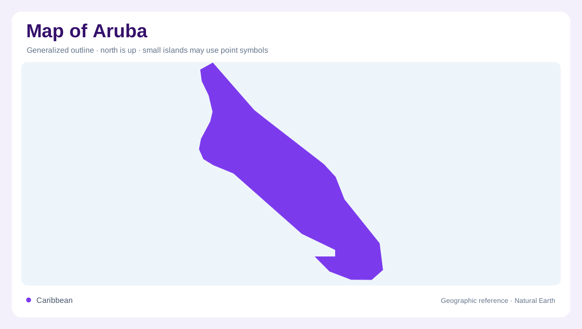
Aruba lies in the southern Caribbean Sea, just north of Venezuela's Paraguaná Peninsula on the South American mainland coast. This position distinguishes it from islands farther north along the long eastern Caribbean arc. The island's small size is easiest to understand when placed beside the nearby South American coast, then examined at a separate local scale. A broad regional map establishes location; a close island map reveals the shoreline and low hills. Those two views answer different questions. Aruba's relationship with the Netherlands is another matter from its physical position, which remains firmly within the warm waters off the northern edge of South America.
A dry island rather than rainforest
Aruba has a semi-arid tropical climate, so lush rainforest is not an appropriate default image of its interior. Its warm setting and limited rainfall create a different environmental character from wetter Caribbean islands. Sparse or open vegetation can be a natural response to those conditions rather than an indication that land is unused. The surrounding sea does not remove the importance of freshwater scarcity on land. When reading a vegetation map, the relevant comparison is between Aruba's own coastal and inland habitats, not an assumed tropical forest cover that would misrepresent the physical conditions of this southern Caribbean island.
Low relief and the Hooiberg landmark
Much of Aruba is comparatively flat, but low hills interrupt the surface. Hooiberg is a prominent named formation within this relief and provides a useful reference away from the beaches. A low island does not mean a perfectly level island: individual hills can stand out strongly when their surroundings are modest in elevation. On a detailed map, contours explain their shape more accurately than a simple summit marker. The relation between hill and adjacent flatter ground also helps orient the interior. Aruba's physical geography consequently includes recognizable landforms that a shoreline focused overview would be likely to overlook.
Oranjestad and mapped settlement
Oranjestad is Aruba's capital, providing a central reference in the island's human geography. Its urban landmarks and built fabric represent one part of a larger landscape containing residential areas, natural ground and coastal habitats. A capital symbol does not describe the entire island's settlement pattern. Similarly, a dense cluster of visitor points may reflect what a particular map chooses to emphasize rather than the full distribution of buildings. Locating Oranjestad in relation to the island outline and inland relief provides a firmer orientation. The capital's importance is geographic and administrative without making every place on Aruba part of its urban centre.
Coastal habitats and inland references
Arikok National Park and the Ayo Rock Formations add named natural references to Aruba's map. Together with Hooiberg, they draw attention to landscapes beyond the familiar sandy coastal image. Protected beaches and other coastal ecosystems also occupy distinct settings around the island, and their limits should not be confused with a general shoreline. A land boundary, habitat edge and park boundary describe different things. Reading these features alongside the dry climate and low hills produces a more complete view of Aruba: a compact island with a specific South American coastal relationship, identifiable interior landforms and varied shore environments.