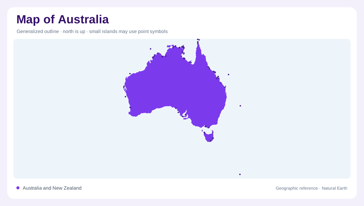
A mainland of continental dimensions
Australia's mainland is nearly as extensive from east to west as it is from north to south. That broad outline gives the interior a scale quite different from a narrow coastal country. Western Australia occupies the large western portion, while Queensland extends across the northeast and New South Wales and Victoria identify the southeast. The Northern Territory and South Australia provide central northern and southern reference areas. State borders help organise these distances, but they are not a complete physical map: arid country, forest belts and highlands do not end neatly at every straight administrative line drawn across the interior.
Dry country away from the margins
The Australian interior includes extensive arid landscapes, contrasting with wetter regions nearer parts of the coast. Geoscience Australia describes climatic extremes ranging from hot deserts to freezing conditions in southeastern highlands. This contrast warns against assigning one climate to the whole continent. Distance from the sea and elevation create different settings within the national outline. A broad desert region on a small map can also contain local relief and drainage features that the overview cannot show. Its apparent simplicity reflects the map's scale, not an absence of geographic structure across the enormous space between Australia's coastal margins.
Where forests frame the continent
Australia's forests are concentrated in several separate regions rather than a continuous ring of equal width. FAO identifies tropical northern areas, the eastern side including Tasmania, parts of South Australia and the southwest of Western Australia. Eucalypts are prominent, but acacias, cypress pines and paperbarks also belong to the country's varied wooded environments. This distribution connects vegetation with regional conditions and helps distinguish southwestern Australia from the dry interior farther east. It also shows why the northern and southeastern margins cannot be treated as identical landscapes simply because both contain forest. Their positions and climatic settings are markedly different.
Tasmania and the surrounding islands
Tasmania lies south of the mainland across the intervening marine waters of Bass Strait and must remain visible in a complete national overview. It is both a major island and the name of a state containing additional smaller islands. Geoscience Australia's area account also recognises thousands of islands around the mainland, reminding readers that the familiar continental silhouette is incomplete. Some coastal islands are too small to appear at a national scale, while Tasmania needs a clearly legible outline of its own. Australia's more distant external territories require separate geographic context rather than being squeezed into the mainland as if they were nearby coastal features.
An inland capital and a separate bay
Canberra belongs to the Australian Capital Territory in the southeastern interior. Its location differs from the country's coastal urban associations and from the separate Jervis Bay Territory on the coast of New South Wales. The two territories should not be conflated just because their histories are connected. Geoscience Australia describes the capital district and the later creation of the bay territory as distinct areas. These small units offer a final lesson in scale: national maps may hide them beneath labels, yet their locations remain precise. Australia's geography combines continental distances with islands, forest margins and unusually small territorial outlines.