An Alpine country extending eastward
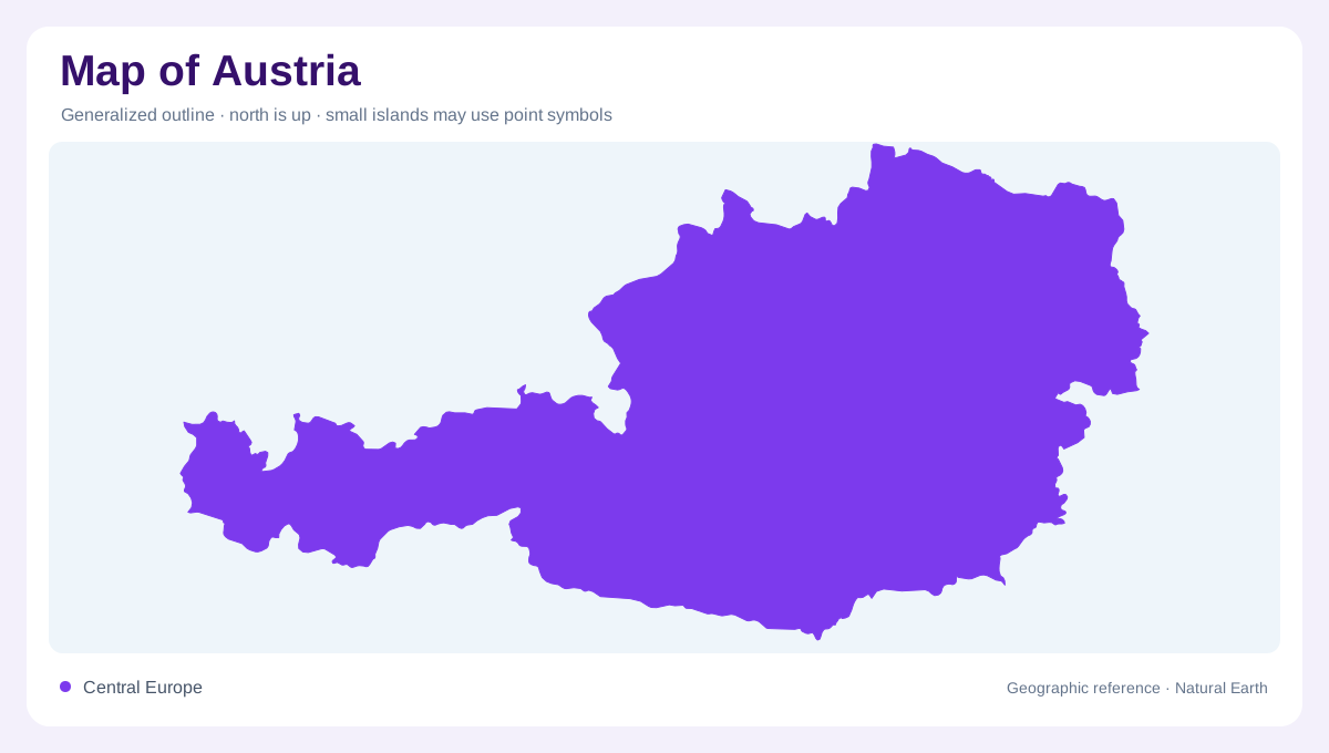
Austria occupies a central European position within the eastern part of the Alpine region. Its geography combines mountain country with lower terrain toward the Danube and the eastern borderlands. Vienna provides an eastern reference, rather than a point in the middle of the highest mountains. The Alps themselves continue beyond Austria through several neighbouring countries, so their physical outline is much larger than the Austrian national boundary. This distinction helps explain the country's elongated form: a western mountain setting leads toward different eastern landscapes. A map showing only peaks would miss the fertile river country that also belongs to Austria.
Valleys shaped by ice and rivers
Alpine valleys record more than one kind of erosion. Glaciers widened many troughs into broad forms, while rivers cut narrower gorges into their floors. NASA's regional account describes this combination across the Alps, showing that a wide valley and a steep inner gorge can coexist. Austria's mountain terrain should therefore be read in cross section as well as from above. Ridges separate valleys, but the valley floor itself may contain several levels of relief. The resulting landscape is not merely a collection of summits: routes followed by water and former ice reveal how the intervening spaces acquired their shape.
Pasterze and the changing glacier margin
Pasterze provides a named example of Austria's glacier geography in the Eastern Alps. Its upper ice area connects toward lower valley ice through steep icefall terrain, while a lake occupies ground exposed near the retreating margin. The glacier is not a fixed patch identical in every photograph. Comparing dated images reveals changes in the relationship between ice, rock and water. That distinction matters even on a general map, where a glacier symbol can appear permanent. The underlying mountain remains a geographic reference while the extent of its high altitude mountain glacier ice cover changes, producing new exposed surfaces and altering the visible valley landscape.
Danube country beyond the high peaks
The Danube corridor belongs to a lower and more open side of Austria than the glaciated Alpine interior. It connects the country with a river system extending through central and southeastern Europe. Vienna's eastern position helps place this corridor in the wider national picture. Tributary valleys link mountain drainage with larger downstream networks, although a national boundary does not confine the catchment. Following water away from the highlands therefore provides another way to understand the country. Austria includes both the places where mountain runoff begins and lower river landscapes through which water continues on its much longer journey eastward.
A shallow lake shared with Hungary
Lake Neusiedl lies southeast of Vienna and crosses the Hungarian boundary, where it is called Lake Fertő. Its shallow water and extensive reed fringe contrast with steep Alpine lake settings. NASA documents large historical fluctuations in its extent, including periods when it dried completely. A fixed shoreline cannot convey that variability. Rust and Mörbisch provide Austrian shore references, while nearby wetland depressions respond on their own timescales. This eastern lake completes the contrast with Pasterze: one landscape is shaped by shallow, variable water and reeds, the other by glacier ice, steep relief and a newly exposed mountain margin.