The Caspian edge and separate territory
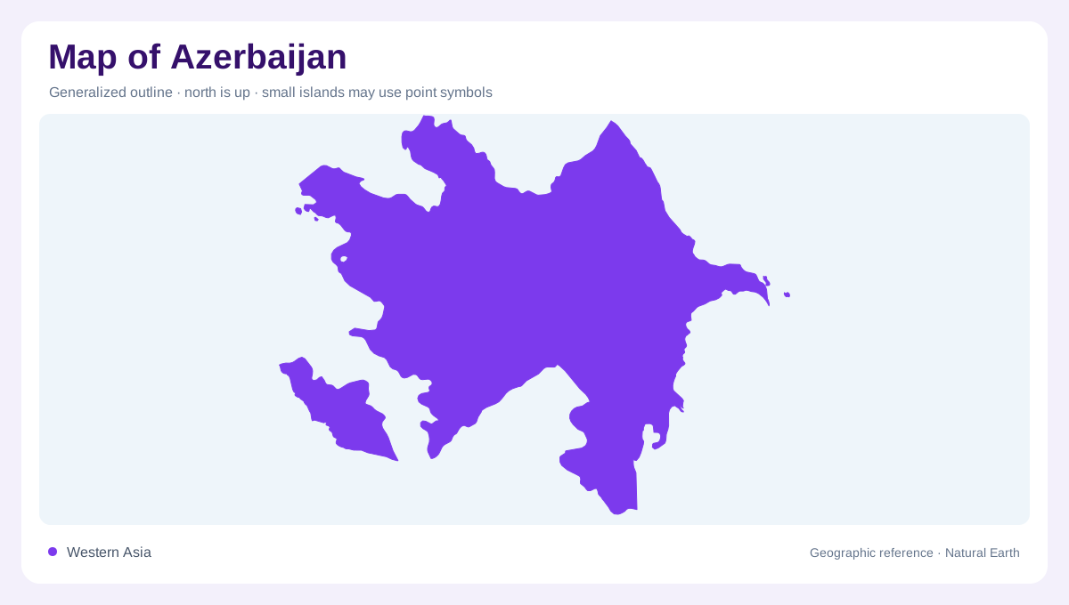
Azerbaijan faces the Caspian Sea on its eastern side, while mountain regions occupy substantial parts of its inland geography. The national territory also includes Nakhchivan, separated from the main part by Armenia. An overview that omits this southwestern component is therefore incomplete. If an inset is used, its placement on the page should not imply that Nakhchivan sits directly beside the Caspian coast. The country's shape combines these separate mainland and exclave geographic situations. Its principal landmass can be read through mountain ranges and lowlands, while Nakhchivan needs its own regional context along the Araks and neighbouring uplands to the southwest.
Two Caucasus mountain systems
The Greater Caucasus extends across northern Azerbaijan, forming part of a mountain system that continues toward Georgia and Russia. The Lesser Caucasus occupies a different position farther south and west. These ranges should not be collapsed into a single barrier along the national edge. Between and beyond them, lower ground creates contrasting landscapes and drainage routes. Elevation also brings colder conditions than those of the lowlands. On a relief map, the relationship between the two mountain systems gives structure to the country, while individual valleys show how water descends from high catchments toward larger rivers and the Caspian receiving basin.
The Kura and Araks meet
The Kura enters Azerbaijan from Georgia and continues toward the Caspian. The Araks approaches through a more complicated border landscape before joining it within Azerbaijan. Together, their basin forms the country's dominant river system. The lowlands around these rivers contrast strongly with the surrounding mountain belts, creating broad spaces where water management and cultivation become prominent. Following the rivers upstream also reveals that much of their catchment lies outside Azerbaijan. The national border does not define the source of all water flowing across the lowlands. Their confluence is consequently a regional hydrological connection as well as a local mapped feature.
Lankaran beneath the Talish Mountains
Southeastern Azerbaijan includes the Talish Mountains and adjoining Lankaran lowland near Iran. This region differs from the drier central lowlands, with a more humid coastal setting. Its mountain and lowland components belong together geographically, yet they should remain distinguishable on the map. Steep ground and nearby coastal plains support different drainage patterns even within a relatively small area. A uniform description of the Caspian shoreline would miss this southeastern contrast. Lankaran demonstrates how Azerbaijan's climate and terrain vary around the same inland sea, rather than following a single condition shared by every place along its eastern edge.
Absheron and smaller coastal basins
Baku lies on the Absheron Peninsula, which projects into the Caspian and gives the coastline a recognizable shape. Its urban prominence can overshadow smaller rivers elsewhere along the coast. In the northeast, the Samur forms a separate drainage system, while additional coastal catchments lie between the major basins. These waters do not all join the Kura before reaching the sea. A complete reading therefore combines the peninsula, the central river lowlands, northern mountains, southeastern coastal region and separate Nakhchivan component. That arrangement describes Azerbaijan's physical diversity without relying on historical conflict lines or treating political map colouring as a substitute for terrain.