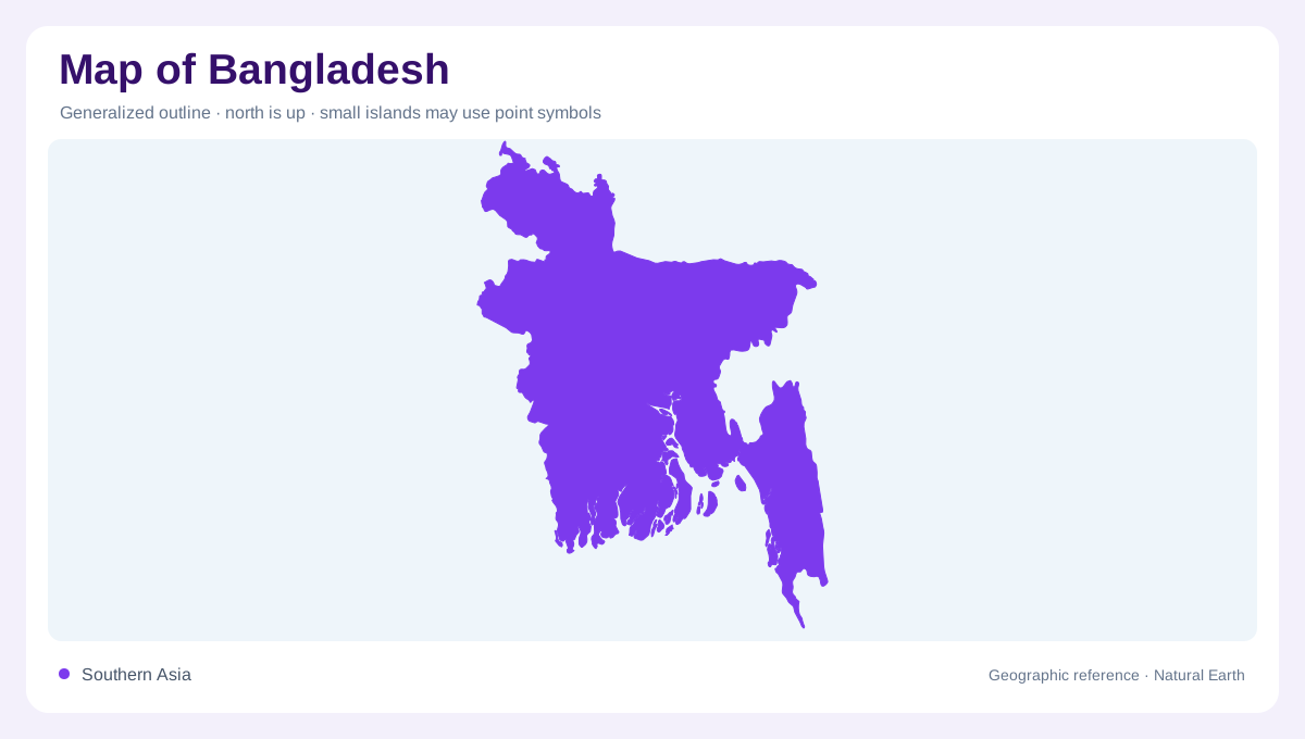
A landscape receiving distant water
Bangladesh occupies the downstream end of a vast international river network whose contributing catchments extend far beyond its national boundaries. Most of the land is floodplain, but the country's physical geography also includes terraces and hills. Those differences matter because water spreads across low ground unevenly. A national map dominated by blue channels can obscure small changes in elevation that strongly influence local inundation. Understanding Bangladesh therefore requires two scales at once: the large upstream system supplying river flow and the fine relief determining where that water goes after it reaches the densely interwoven channels and fields of the country.
Several kinds of floodplain
Bangladesh's floodplains include active river margins, older meandering surfaces, piedmont areas near hills and estuarine or tidal ground toward the coast. These categories describe different relationships with flowing water. An active channel belt may shift, while nearby land has a different history of deposition and flooding. At the foot of hills, runoff arrives from a steeper surrounding catchment. Near the sea, tides introduce another influence. Treating every low area as the same kind of delta landscape would erase these distinctions. The shape and setting of a floodplain can therefore explain more than its shared low elevation on a relief map.
Madhupur and Barind stand apart
The Madhupur and Barind tracts are important exceptions to the surrounding floodplain pattern. Although commonly called terraces, the geographic account identifies them as uplifted fault blocks rather than ordinary river or marine terraces. Their relative height affects how they relate to neighbouring inundated land. A map with only major mountains marked may make these raised surfaces seem insignificant, yet modest elevation differences matter greatly within Bangladesh. Locating the two tracts helps break the misleading impression of complete flatness. Their boundaries should be read against adjoining lowlands, where a different combination of sediment, drainage and seasonal water shapes the landscape.
Hills on the northern and eastern sides
Hilly areas occur along the northern and eastern margins, adding terrain distinct from both the terraces and floodplains. Rainfall also varies across the country, with wetter conditions in northern and eastern areas compared with the west. This pairing of relief and rain helps explain why an apparently small upland area can influence adjacent lowlands. Water descending from hills joins a much flatter receiving landscape, changing the scale and speed of drainage. Bangladesh's national outline consequently encloses environmental transitions as well as a broad lowland core. The hills deserve explicit recognition even though floodplains account for the greater share of land.
Seasonal water and the coastal edge
The monsoon brings abundant water, while the winter period presents a contrasting freshwater regime. Coastal salinity connects these seasonal changes with estuaries, aquifers and the Sundarbans environment. Flood control embankments, drainage channels and cultivated fields add human modifications to an already intricate water landscape. Their presence should not be confused with complete control over inflows arriving from distant catchments. When comparing maps or images, the season can explain major differences in visible water. Bangladesh emerges most clearly as a country of interacting river flow, subtle relief and coastal influence, with the timing of water as important as the position of land.