An Atlantic island with Caribbean connections
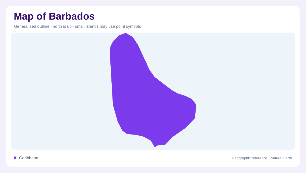
Barbados lies east of the main Lesser Antilles island arc, in the western Atlantic Ocean. Its cultural and regional association with the Caribbean should not obscure that physical position. Unlike an island enclosed within the Caribbean Sea, Barbados faces the Atlantic beyond the chain's eastern side. A regional map is therefore essential for understanding its separation from neighbouring islands. At national scale, the outline becomes a compact landmass with distinct western, southern and eastern shores. The island's short distances do not eliminate local geographic contrasts, particularly between the densely developed southwestern coast and less continuously built inland areas.
Bridgetown on the southwestern shore
Bridgetown occupies the southwestern coastline, where Carlisle Bay provides a clear coastal reference. The city and surrounding urban area form a conspicuous concentration of streets and buildings rather than a small isolated point. NASA imagery distinguishes this built fabric from greener fields and riverside areas inland to the northeast. The capital's position matters: it is not in the island's centre, and a route radiating from it begins close to the sea. Carlisle Bay also helps orient the waterfront within the wider outline. The bay, urban shoreline and inland edge of development represent different boundaries on a detailed city map.
The western string of towns
Northward along the western side, Holetown and Speightstown provide useful reference points beyond the Bridgetown area. They establish a coastal sequence rather than subdivisions of one enormous capital. Their position beside the western shore contrasts with settlements farther inland, where the surrounding land extends on every side. The FAO country map marks these towns separately, making it possible to follow the island's length without reducing Barbados to Bridgetown alone. Names on this coast are also helpful when comparing maps at different scales: a label omitted from a regional Caribbean map may still identify an important local stretch of shoreline.
Eastern slopes and inland landmarks
Bathsheba belongs to the eastern coastal setting, on the opposite side of the island from the western town sequence. Inland, Mount Hillaby supplies a prominent elevation reference. This combination of coastal and upland labels helps reveal that Barbados is not simply a flat rim around a capital. The interior lies between shores with different orientations, and its fields and valleys add texture that a small outline cannot display. Parish boundaries offer another way to organise the island, but they should not be confused with ridgelines. Administrative divisions and the shape of the terrain, including its slopes and intervening lower ground, describe different aspects of the landscape.
The south and the surrounding water
Oistins identifies the southern part of Barbados, extending the settlement picture beyond Bridgetown and the western coast. Around the southwest, satellite photographs show lighter shallow water near land and darker water farther offshore. That visible colour change can suggest depth, although it is not a substitute for measured bathymetry. A complete geographic reading combines this marine margin with the landward sequence: southwestern urban concentration, western coastal towns, the inland rise and the eastern shore around Bathsheba. Barbados remains one island, but these reference points prevent its small national outline from concealing the variety of places contained within it.