A compact country with several centres
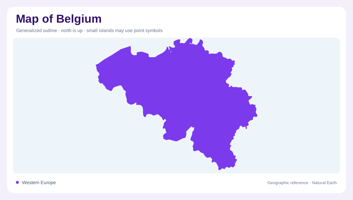
Belgium lies in western Europe, with a North Sea coast on its low-lying northwestern side facing open water and an interior connected to neighbouring France, the Netherlands, Germany and Luxembourg. Its modest outline contains several major urban centres rather than one capital surrounded by otherwise empty countryside. Brussels, Antwerp and Liège occupy different positions within that pattern. A regional map places them within a wider European setting, while a national view separates their individual urban areas. The country's compactness makes these relationships easy to overlook: proximity on paper does not mean that every named city belongs to one continuous municipality or coastal region.
The Flemish shoreline and its hinterland
The Flemish coast forms a comparatively short maritime frontage, with sandy shores and low polder landscapes behind parts of it. Ostend provides a recognisable coastal city reference. Bruges lies inland from the open sea, demonstrating that a place closely associated with the coastal region need not stand directly on the beach. The coast and its hinterland should therefore be distinguished even on a small map. A shoreline is a narrow physical edge, while the surrounding low country extends farther inland. This northwestern setting contrasts with urban areas deeper inside Belgium, where the sea is no longer the immediate organising feature.
Antwerp follows the Scheldt
Antwerp stands on the Scheldt River, which connects its port setting with waters beyond Belgium. It is not a city placed directly on the open North Sea shore. NASA's nighttime imagery shows the river as a dark corridor through the surrounding lights and identifies extensive dock areas along it. The relationship explains why an inland river city can have a strong maritime role. On a detailed map, the channel, docks and urban centre occupy different spaces. Treating them as one point would hide the elongated waterfront geography that distinguishes Antwerp from both the coastal towns and the capital inland.
Brussels and the central city network
Brussels occupies an inland position south of Antwerp. Its urban pattern appears in NASA imagery as a concentration of development with routes radiating outward, while surrounding places remain separately identifiable. Ghent, Leuven and Mechelen add other reference points in the central and northern city network. The geographic lesson is not that all these centres are interchangeable, but that Belgium has multiple closely spaced urban anchors. Their names help orient the country at a scale between the national outline and individual streets. Administrative labels, built areas and transport corridors overlap here without necessarily sharing exactly the same boundaries on the ground.
Liège and the eastern countryside
Liège supplies an eastern urban reference, with Seraing nearby and Verviers farther east. NASA's dated nighttime account contrasts brightly developed areas with agricultural land and forest southeast of Verviers. Darkness in that image does not mean the countryside is uninhabited; it reflects differences in illumination and land cover. Nor does a historic photograph establish today's precise urban extent. Taken alongside the Flemish coast, Antwerp's riverfront and inland Brussels, this eastern contrast gives Belgium a varied geographic structure. Its map contains maritime lowlands, connected cities and rural landscapes, each requiring more attention than a single national symbol can provide.