A mainland facing a reef sea
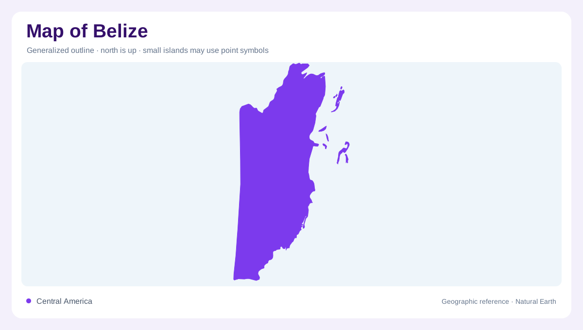
Belize lies on the Caribbean side of Central America, with Mexico to the north and Guatemala beside its western and southern mainland. Its geography includes both a continental interior and islands and reefs offshore. The long eastern shoreline creates many connections between inland drainage and marine habitats. Corozal and Orange Walk identify northern districts, while Cayo occupies an inland position and Toledo extends into the south. Belize and Stann Creek districts add central coastal reference areas. These divisions organise the country without replacing its physical structure: rivers cross the landscape toward a sea containing far more than open water.
Northern rivers and inland valleys
The Hondo and New River are useful anchors for understanding northern Belize. Farther south, the Belize River system includes the Mopan and Macal, linking inland valleys with the central coastal plain. San Ignacio belongs to this western river setting rather than the offshore island world. Additional rivers, including the Sibun, Sittee and Monkey, create their own corridors toward the coast. The resulting pattern is not a single river running down the country's length. It is a set of drainage systems connecting different inland areas with separate stretches of shoreline, carrying water and sediment across the boundary between terrestrial and marine environments.
Coastal towns in sequence
Belize City, Dangriga and Punta Gorda provide a sequence of coastal reference points from central to southern Belize. Corozal sits in the northern coastal region, while Orange Walk is inland. These positions explain why a town list alone is insufficient: settlements can be associated with bays, river corridors or interior districts rather than one continuous beachfront. The FAO country map makes those relationships visible through separate river and settlement labels. Following the coast southward also shifts the marine context, from the central reef and caye region toward the sheltered, island dotted waters of Port Honduras near the southern mainland.
Port Honduras and its living margins
Port Honduras contains mangrove shorelines, small forested cayes, seagrass meadows and coral communities. NASA's account describes the cayes as tops of older reefs, linking their present vegetation to an underlying marine origin. Farther offshore, the Snake Cayes stand on a limestone ledge. These are different habitats within one coastal system, not interchangeable patches of green and blue. River runoff can carry sediment into the surrounding waters, affecting clarity and the light available to corals. The geographic connection runs both ways: the mainland helps shape conditions offshore, while the reefs and cayes create structure within the shallow marine environment itself.
Lighthouse Reef beyond the mainland
Lighthouse Reef lies well offshore, with the Great Blue Hole near the centre of its atoll. The hole is a marine sinkhole, not a circular island or an ordinary surface lagoon. Its dark appearance contrasts with shallower surrounding reef water because of its considerable depth. Limestone formations inside record a geological history associated with lower sea levels. Half Moon Caye supplies another named reference within the atoll. Together, these features show why Belize needs more than a mainland outline: river valleys, coastal settlements, mangrove cayes, barrier reefs and offshore atolls occupy distinct positions within a connected geographic system spanning land and sea.