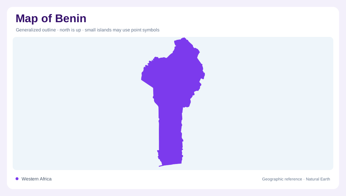
A long view from the coast
Benin's elongated outline reaches inland from the Gulf of Guinea, so a north to south reading reveals more than its relatively short Gulf of Guinea coastline. The southern landscape combines settlement, cultivation and water, while the interior opens toward different river systems and seasonal conditions. Country boundaries enclose this variety without making it uniform. A coastal label alone cannot explain the northern districts, and a general description of inland West Africa misses the lagoon environment in the south. Benin is best approached as a sequence of connected regions whose contrasts become clearer when drainage and rainfall are placed beside the national outline.
Ouémé and Mono country
The Ouémé and Mono are major names in Benin's river geography. Their channels and associated low ground organize landscapes at a finer scale than the country's overall north to south shape. Floodplain areas differ from nearby higher ground because water can spread beyond the channel during wetter periods. A narrow river symbol may therefore understate the width of the landscape affected by that river. Tributaries, lowlands and cultivation deserve attention together. The Mono also illustrates why neighbouring countries cannot be treated as separate hydrological boxes: a river basin is a physical unit that need not follow an administrative border.
Lakes, lagoons and the southern margin
Lakes and lagoons form a substantial part of Benin's watery landscape. These features should not be mistaken for open sea simply because they appear near the coast, nor should every enclosed blue area be treated as an isolated freshwater lake. Their position relative to river mouths and the shoreline matters. Sediment carried from surrounding land can gradually change shallow water bodies, connecting inland land use with coastal geography. A detailed southern map consequently needs to distinguish the ocean edge, enclosed waters and river channels. Combining all three into one broad coastal strip would erase much of the region's character.
Northern rivers and seasonal flow
The Pendjari and tributaries of the Niger introduce another drainage pattern in northern Benin. Following these waters reveals connections beyond the coastal basins farther south. Many of the country's rivers have strongly seasonal flow, with marked floods and low water periods that can include dry channels. A printed river line records a course, not a promise of continuous discharge. This is particularly important when comparing maps with photographs taken in different months. The north also has a more clearly defined single rainy season and dry season, contrasting with the southern pattern of two wetter periods separated by drier intervals.
Reading settlement against water
Benin's south has historically concentrated much of the population within a comparatively small share of national territory. That geographic imbalance explains why a uniform national density would give a poor picture of settlement. Inland centres such as Parakou, Natitingou and Djougou belong to a wider network of towns with distinct local water settings. Around them, low lying cultivated areas may use seasonal moisture differently from higher fields. At national scale, identify the coastal concentration and principal basins; closer examination can then distinguish town footprints, agricultural land and river margins. Benin's regional contrasts emerge from these layers rather than its outline alone.