An Atlantic location beyond the Caribbean
Bermuda lies in the North Atlantic east of North Carolina, well north of the Caribbean island chains. This location is essential because its climate and coral environments often lead to an incorrect placement within the Caribbean Sea. A regional map should show the Atlantic setting clearly before moving to the much smaller island scale. The distance from the continental coast also distinguishes Bermuda from a nearby coastal archipelago. Its land occupies only a small part of the surrounding ocean frame, so comparing the full extent of a locator map with the islands' actual area would give a misleading impression.
Many islands behind one name
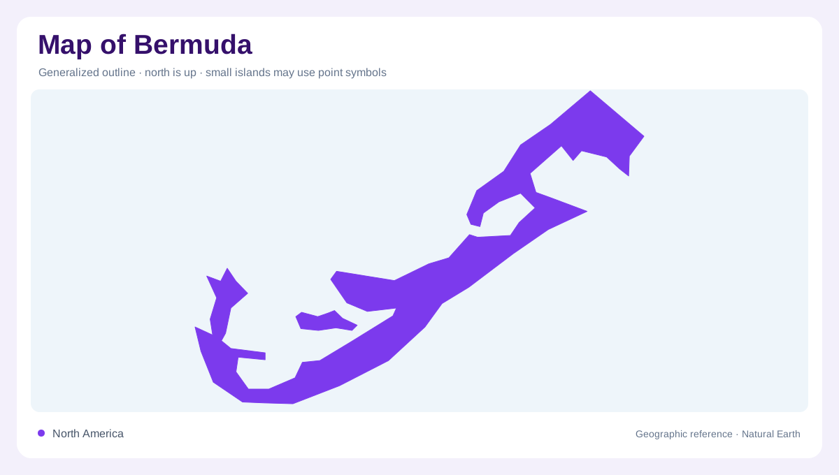
The name Bermuda refers to a group of islands and islets rather than one simple landmass. On a small map, closely spaced pieces can merge visually into a continuous shape. More detailed mapping reveals the water separating them and the irregularity of their shores. This difference in scale matters for understanding the territory's compact appearance. A single outer envelope can be useful for locating the group, but it cannot replace individual coastlines. The archipelago's geographic character comes from the combination of small land areas and intervening waters, not just from the total number of islands listed in a reference.
Ocean warmth and coral environments
The Gulf Stream's warming influence helps explain coral environments at Bermuda's northerly latitude. This relationship connects the islands to a much larger Atlantic circulation system. Latitude alone would not adequately describe their marine setting. Coral habitat also extends beyond the land shown on an ordinary street map, creating a shallow water geography with its own boundaries. Those habitat limits differ from coastlines and administrative areas. Reading Bermuda through both ocean position and local marine features explains why a small island group can have ecological characteristics that are not obvious from its place beside the eastern coast of North America.
Hamilton and St George's
Hamilton is Bermuda's capital and an important reference in its settlement geography. St George's supplies another distinct historic place name, including the setting of St Peter's Church. These centres should not be treated as interchangeable labels for the whole island group. Their built areas occupy particular parts of a much more indented coastal landscape. A map emphasizing historic landmarks tells a different story from one showing administration or marine habitats. Keeping the town references attached to their actual settings allows the reader to connect Bermuda's human geography with the surrounding shores, while avoiding the impression that the entire archipelago forms one town.
Small habitats within an oceanic setting
Surviving natural habitats support species distinctive to Bermuda, including the Bermuda cahow. Their limited extent makes detailed habitat mapping important even where the territory appears small enough to summarize at a glance. A patch of natural land can be ecologically significant without occupying much space on a national overview. The same applies to coastal and marine environments around individual islands. Bermuda's geography is therefore best read as several nested scales: its isolated North Atlantic position, the arrangement of islands and islets, the locations of its towns and the small habitat areas that preserve its distinctive living landscape within that wider ocean.