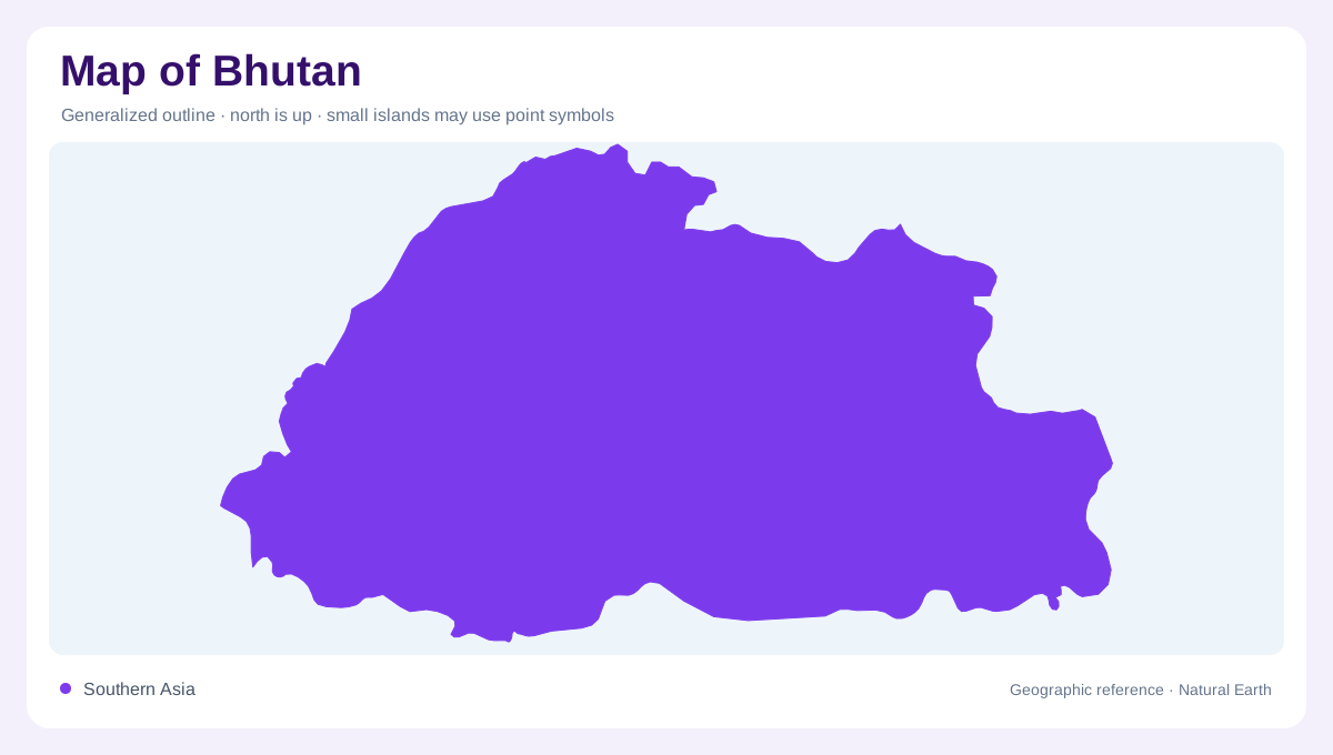
Relief sets the framework
Bhutan lies within the eastern Himalayas, where rugged terrain makes elevation a defining feature of the national landscape. A small separation on the map can span a valley, a steep slope and a high ridge. The country's inland position is consequently only part of its geographic identity. Its mountain structure limits the extent of broad cultivable ground and divides neighbouring catchments. Reading the relief before interpreting land use helps explain why agricultural areas occupy selected spaces rather than forming an even cover. Bhutan's terrain is best understood as a succession of elevations, not as a single uniform mountain environment.
The warmer southern foothills
The southern foothills have subtropical conditions, contrasting with the colder country farther north and higher up. This lower belt gives Bhutan a climatic range that a general Himalayan label can easily hide. Warm slopes support vegetation different from that near the high northern boundary. As elevation rises, temperature and growing conditions change, but the transitions follow local terrain rather than perfectly straight bands. Valleys may bring lower environments farther into the mountains, while ridges rise above nearby settlements. A physical map reveals these irregularities and helps explain why latitude alone is an inadequate guide to the country's local climates.
Forests through the middle elevations
Temperate conditions characterize much of Bhutan's central belt. Its forests include broadleaf and coniferous communities, with fir, mixed conifers and pine among the types described in FAO's geographic account. A forest colour on a map therefore combines several habitats rather than identifying one tree community throughout the country. Slope, height and moisture help separate these environments. Forest land also connects with grazing areas and cultivated pockets, creating a mosaic instead of a simple division between inhabited valleys and untouched mountains. Looking at that mosaic gives a more grounded picture of how rural landscapes fit within Bhutan's steep middle elevations.
High northern environments
Toward the highest northern country, tundra and permanent ice replace the warmer vegetation zones below. The change affects the amount of land suited to cultivation and the relationship between seasonal pasture and more persistent snow cover. A white patch may represent ice or snow rather than unmapped terrain, while an apparently bare slope may belong to a high altitude ecosystem. These distinctions become clearer on a topographic map with explicit surface categories. Bhutan's northern belt should therefore be described through elevation and environmental conditions, without assuming that every high valley has the same land cover or degree of permanent icing.
Catchments and narrow working landscapes
Bhutan's mountain waters create substantial hydrological potential, but the shape of catchments matters more geographically than a single national total. Streams descending through steep terrain connect upper slopes with lower valleys. Forest cover, grazing and cultivated land all occupy parts of those catchments, so land use upstream can matter downstream. Limited level ground also means that a small agricultural area may be locally significant even when it barely registers on a countrywide map. Combining drainage with relief shows why Bhutan's human landscape is closely fitted to terrain. The country's great environmental range emerges from the vertical distance between southern foothills and northern heights.