High western country, broad eastern basins
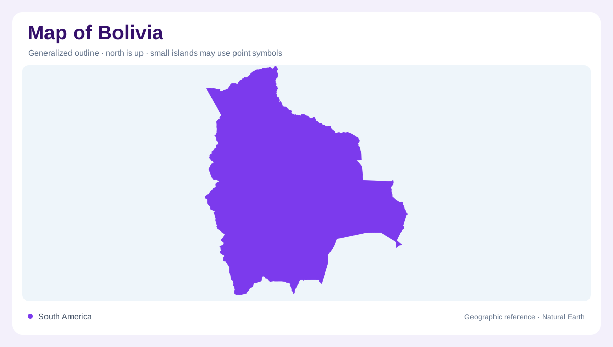
Bolivia lies within South America without an ocean coastline. Its outline links Andean highlands in the west with much broader lowland country toward the north and east. Peru and Chile neighbour the western side, while Brazil, Paraguay and Argentina frame other parts of the boundary. This setting makes the contrast between elevation and drainage especially important. A map focused only on the Andes would omit a large portion of Bolivia's geography. Conversely, a river map of the eastern plains would not explain the enclosed highland basins, salt flats and mountain cities that give the western region its distinctive form.
Titicaca and the Altiplano
The large, irregularly shaped freshwater body of Lake Titicaca occupies the Andean Altiplano along the boundary with Peru. It belongs to a high plateau setting, not the tropical eastern lowlands. The lake's outline includes bays, peninsulas and islands that become apparent only beyond the smallest national scale. Farther south, the Desaguadero provides a named drainage connection within the highland system. NASA imagery demonstrates how reflected sunlight can reveal subtle surface patterns on Titicaca, including waves and wakes that are otherwise difficult to distinguish. Those optical features describe the photographed water surface; they do not turn a bright patch into a new island or permanent lake boundary.
Salt flats and changing water surfaces
The Salar de Uyuni and Salar de Coipasa identify major salt flat landscapes in western Bolivia. They differ from deep freshwater lakes even where a small map uses similar pale or blue tones. Lake Poopó also appears in the highland drainage geography, but its water coverage is variable and should not be assumed from a fixed outline. These basins show the importance of distinguishing a named geographic depression from the amount of water occupying it at a particular time. The plateau contains a connected regional story of rivers, lakes and evaporative surfaces, rather than one continuous body of water.
Beni and Mamoré toward the north
The Beni and Mamoré organise much of northern Bolivia's drainage, connecting with the Madeira system beyond their lower reaches. The Madre de Dios and Orthon add further western and northern river corridors, while the Iténez, also called Guaporé, marks an eastern component of the network. Trinidad and Cobija belong to this broader lowland geography, unlike the highland urban settings around La Paz and Oruro. The rivers extend across national boundaries, so Bolivia's northern hydrology cannot be understood in isolation from neighbouring Brazil and Peru. Their branching pattern contrasts strongly with the salt flats and enclosed basins of the southwest.
Southern valleys and contrasting cities
The Pilcomayo and Paraguay belong to the southern and southeastern drainage picture, separate from the northern Amazon network. The Parapetí and Bañados de Izozog provide additional reference points in the eastern interior. Urban names reinforce this variety: Cochabamba, Sucre, Potosí, Tarija and Santa Cruz occupy different regional settings rather than a single central plain. Their relative positions help connect western elevations with eastern expanses without flattening the terrain into one national average. Bolivia's most revealing map is therefore a comparison of high plateau basins, mountain valleys and lowland rivers, with settlements located within those distinct physical environments.