One entry spanning distant islands
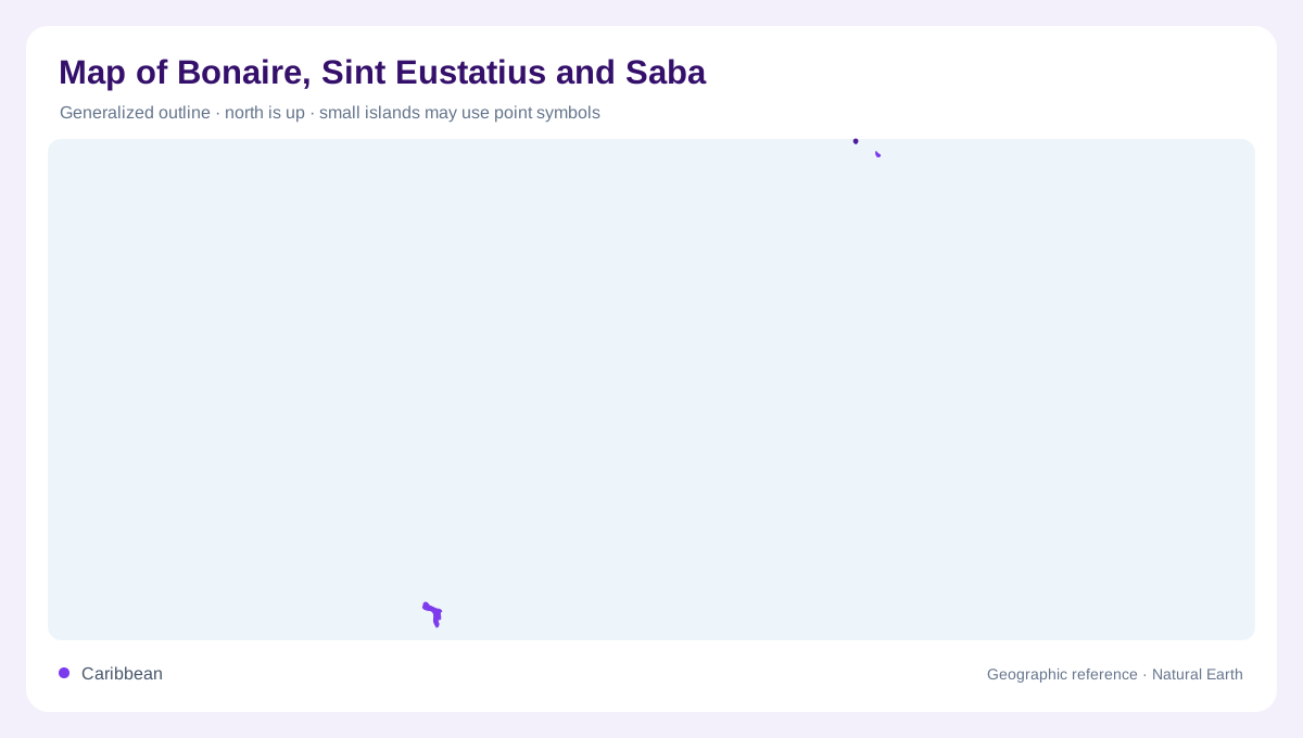
Bonaire, Sint Eustatius and Saba are grouped under one inventory name, but they do not form a compact neighbouring trio. Bonaire lies in the southern Caribbean near Venezuela, alongside the wider regional setting of Aruba and Curaçao. Saba and Sint Eustatius lie much farther northeast within the Lesser Antilles. The grouping reflects their shared relationship with the Netherlands, not a continuous physical archipelago. A single locator centred on Bonaire would therefore fail to explain the other two islands. Each needs its own position, and the large intervening sea must remain part of the geographic account rather than being compressed away.
Bonaire beside the southern Caribbean
Bonaire's southern position places it in a different island neighbourhood from Saba and Sint Eustatius. Its natural environments include coral reefs, mangroves and dry forest habitat. These should not be combined into one undifferentiated tropical green surface. Mangroves occupy wet coastal settings, while dry woodland belongs to another relationship between vegetation and water. Kralendijk provides a settlement reference on Bonaire itself. The surrounding reefs are also part of the island's geographic identity, extending the relevant landscape beyond dry land. Comparing them with inland habitats explains why the coastline is a transition between connected environments, not the edge of ecological interest.
Sint Eustatius and the Quill
Sint Eustatius, often called Statia, lies southeast of Saba and northwest of Saint Kitts. The Quill gives the island a distinctive volcanic landmark, with rainforest within its crater contrasting with drier areas elsewhere. That combination demonstrates how terrain can create different local environments on a small island. Oranjestad is the main town and contains upper and lower areas, with the lower part associated with the waterfront. It is not the same place as Oranjestad on Aruba. Keeping the island attached to the town name avoids a particularly easy Caribbean naming confusion and preserves the relationship between settlement and volcanic relief.
Saba's steep island profile
Saba rises steeply from the sea as a volcanic island, with forested slopes and a much more mountainous profile than the broad coastal image sometimes associated with Caribbean islands. NASA's geographic account places The Bottom between the coastal port area and higher elevations. Its name is a settlement label, not a description of the entire island's height. Reefs around the shore add a marine environment beneath that steep terrestrial relief. On Saba, elevation changes rapidly over short horizontal distances, so a simple outline or straight line measurement conveys little about the slopes separating the shore from the island's higher ground.
Comparing rather than combining
The three islands are most clearly understood through comparison: Bonaire's southern reef and dry habitat setting, Statia's Quill crater and divided town levels, and Saba's steep forested volcanic slopes. Their shared inventory entry should not imply one capital serving a connected landmass or a single local road network between them. Nor should neighbouring Aruba, Curaçao or Saint Kitts be absorbed into the group because they supply regional orientation. Each island has its own coastal outline, settlements and terrain. Together they illustrate how an administrative grouping can span markedly different Caribbean landscapes while remaining geographically separated by substantial stretches of sea.