An interior country with a coastal opening
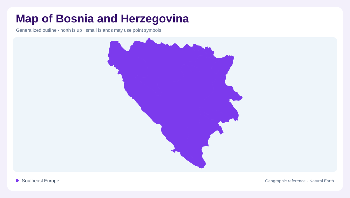
Bosnia and Herzegovina lies in southeastern Europe, where a predominantly inland landscape includes a small, sheltered coastal opening to the Adriatic Sea around Neum. The country's name joins two historical geographic regions rather than two islands or two disconnected countries. Sarajevo provides an interior urban reference, while southern Herzegovina includes landscapes shaped by karst drainage and proximity to the Adriatic. The national outline is therefore best approached through contrasts: northern river country, interior basins, southern limestone terrain and the short maritime edge. A map limited to major cities would miss the water systems and landforms connecting these different parts of the country.
Northern waters and the Tuzla basin
The Sava forms a major northern regional river axis, connecting Bosnia and Herzegovina with a wider Balkan drainage system. Its floodplain setting differs from enclosed southern karst fields. Farther within the northeastern interior, the Tuzla basin provides another distinctive landscape. NASA's dated satellite account identifies surface mines around Tuzla and nearby settlements, showing how excavation and associated deposits have altered the visible terrain. This is a human shaped geographic setting as well as a natural basin. Historical imagery should not be treated as a current inventory of operating mines, but it records the substantial landforms created by industrial activity.
The Neretva's southern network
The Neretva and its tributaries are central to the southern water geography described in FAO's country account. Their channels connect separate valleys and supply water used on neighbouring agricultural land. A river basin is wider than the blue line marking its main channel: it includes tributary catchments and the slopes contributing runoff. In this part of the country, surface water also interacts with permeable limestone landscapes. Following the Neretva therefore introduces a different geographic structure from the northern Sava setting. The two systems should not be combined as though all national rivers follow one direction through a single continuous valley.
Karst fields and concealed water
Ljubuški Polje and Trebinjsko Polje are named southern fields within a karst landscape, while the Dubrava Plateau supplies another regional reference. FAO identifies springs, wells and subsurface streams as important water sources in this setting. Those underground connections explain why a surface map alone can leave apparent gaps in the drainage network. Water may move through rock before reappearing at a spring, rather than remaining visible as an uninterrupted stream. Broad fields and plateaus consequently need to be interpreted alongside the surrounding geology. Their comparatively open surfaces do not mean the underlying water system is simple or entirely exposed.
Neum and the sheltered Adriatic margin
Neum gives Bosnia and Herzegovina its Adriatic coastline. Its bay lies within a sheltered maritime setting influenced by the Klek and Pelješac peninsulas, rather than facing an uninterrupted open ocean horizon. The coastal opening is small relative to the country's interior, but omitting it would incorrectly imply that Bosnia and Herzegovina is landlocked. Its scale also explains why regional context matters: neighbouring coastlines and peninsulas help define the local water space. From Neum inland toward karst fields, the Neretva network and northern basins, the country combines several water landscapes within an outline that is mostly continental but not exclusively inland.