An isolated point in the South Atlantic
Bouvet Island occupies a remarkably isolated position in the South Atlantic, far from continental shores and the better known inhabited Atlantic archipelagos. The ice-covered continent of Antarctica, itself overwhelmingly remote, more than sixteen hundred kilometres to the south, is its nearest landmass. On a world map the island can disappear beneath its own label, while a regional ocean map reveals the immense surrounding distances. Its position is south of Africa but not close to the African coast. Thinking of Bouvet as an oceanic outpost helps explain why its geography centres on rock, ice, weather and marine life rather than settlements or a network of inland roads.
A volcano beneath the glacier
Most of the island consists of a shield volcano, built by lava that spread relatively easily before cooling. That origin differs from the steep, narrow cone many readers associate with a volcano. The underlying mountain has a broad volcanic form, but extensive glacier cover conceals much of its surface. Relief therefore needs two interpretations: the shape of the rock beneath and the changing ice lying above it. A white area on an image is not evidence that the island lacks topographic variation. Ice occupies slopes and high ground, producing an apparently smooth surface over a substantial volcanic structure.
The northern lava dome
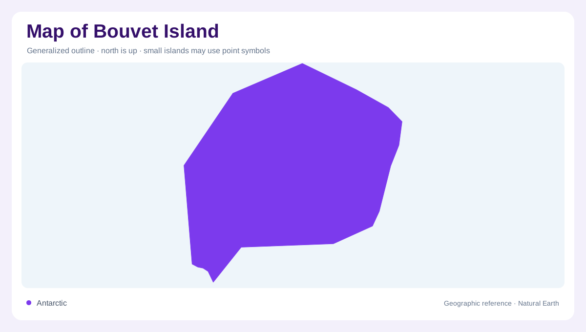
Kapp Valdivia projects from Bouvet's northern side and provides a useful named landmark for orienting an otherwise unfamiliar outline. Its volcanic origin differs from the main shield. More viscous lava accumulated to form a dome, rather than flowing outward as readily. The contrast places two kinds of volcanic construction within one small island. On a detailed map, the peninsula should be read as a distinct northern projection, not a separate offshore island. Locating it first also helps distinguish the northern coastline from the other glacier edged shores when comparing images taken with different orientations and patterns of cloud cover.
Where ice meets dark cliffs
Along the coast, steep cliffs expose dark volcanic rock beneath the bright snow and ice. These narrow bands of exposed material can be more informative about the island's geology than its much larger white interior. They also show that the shore is not a continuous low beach. Satellite imagery sometimes records sea ice around Bouvet, but a photograph captures conditions at its acquisition date, not an unchanging boundary. The coastline, glacier margins, cloud and floating ice are different features. Separating them prevents an icy patch offshore from being mistaken for an extension of the island's permanent land surface itself.
A small terrestrial refuge
Bouvet is uninhabited, so a conventional map organised around a capital, towns and highways would misrepresent the place. Its biological geography instead includes lichens on exposed ground and seabirds and seals using the island within an overwhelmingly marine environment. Habitable patches for these organisms are constrained by the meeting of ice, rock and shore. The island also lies near the junction of the African, South American and Antarctic tectonic plates, connecting its local volcanic landscape to a much larger ocean floor setting. Bouvet's tiny outline thus combines planetary scale geology with sharply limited areas of exposed terrestrial habitat.