A country wider than one landscape
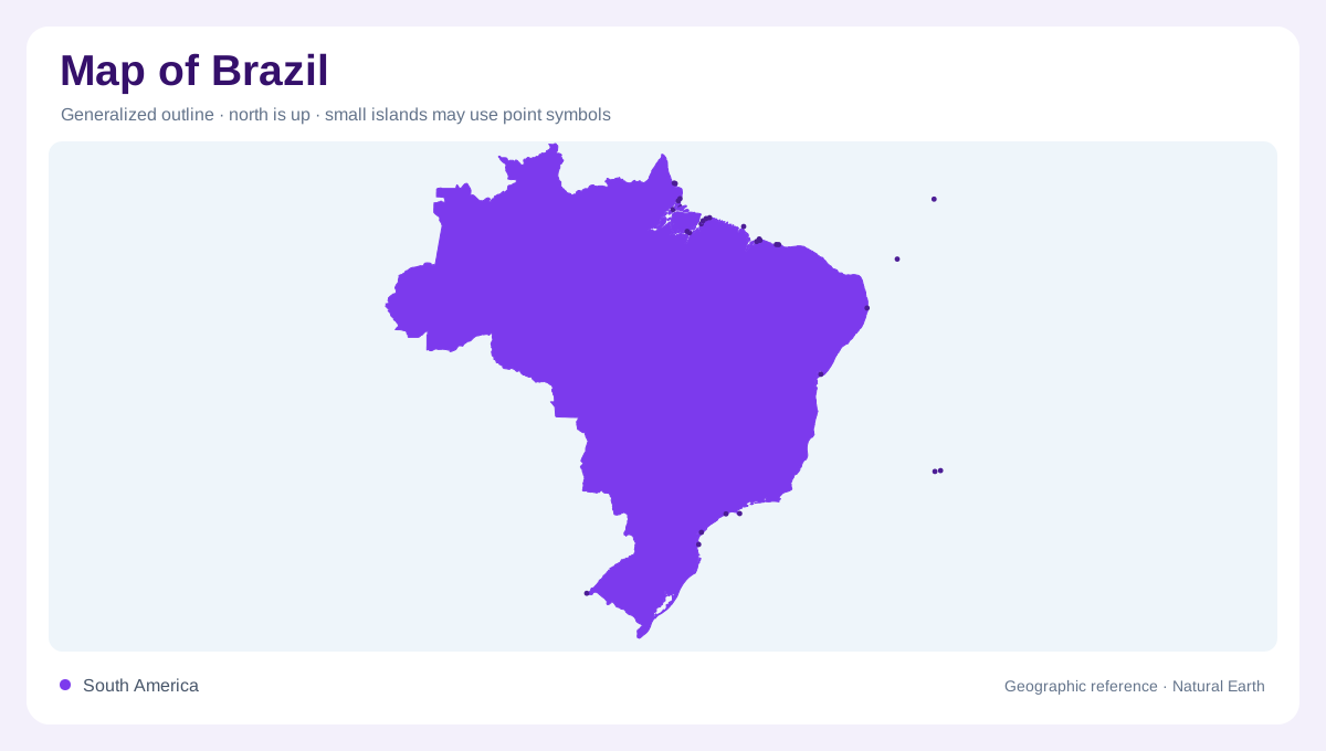
Brazil occupies a large portion of eastern South America, with an extensive Atlantic frontage and an interior reaching deep into the continent. Its outline encompasses far more than the Amazon rainforest. Northern river lowlands, central uplands, northeastern catchments and southern drainage systems form different geographic settings. The capital, Brasília, is inland, unlike major coastal cities such as Rio de Janeiro, Salvador and Recife. These positions establish an immediate contrast between the national interior and the Atlantic edge. A useful reading begins with that scale: places sharing the Brazilian name can lie in different basins, vegetation zones and terrain types.
The Amazon's branching northern network
The Amazon system contains a dense hierarchy of major rivers and tributaries. The Negro and Madeira provide important western and central reference lines, while the Tapajós and Xingu approach the main river from farther east. Manaus belongs to the interior river region, whereas Belém identifies the eastern approach toward the Atlantic. The basin's vegetation is not uniformly closed rainforest. NASA's account of satellite monitoring distinguishes savannas, grasslands, seasonally flooded areas and transition zones within the wider Amazon region and its river landscapes. That variety matters because a single forest colour can hide habitats whose structure and seasonal behaviour differ considerably from dense tree cover.
Cerrado on the central highlands
Central Brazil includes the Cerrado, a biologically diverse savanna and grassland environment. In Goiás, the Serra de Caldas forms a conspicuous plateau above surrounding fields and towns. Its elevated surface provides a local example of the broader central upland setting. Rain falling here can enter the ground and replenish aquifers, linking vegetation and rock structure with water supply. NASA describes the Cerrado's role in feeding major river basins, so this landscape is important even where no enormous river dominates the view. The plateau also demonstrates why raised terrain may be misread in satellite images when lighting reverses apparent relief.
Separate routes toward the ocean
Brazil's river geography extends beyond the Amazon. The Tocantins and Araguaia form another major system, while the São Francisco and Parnaíba organise substantial areas farther east. In the south, the Paraná, Paraguay and Uruguay connect Brazilian drainage with neighbouring countries. These names mark different destinations and networks, not tributaries of one universal national river. A watershed view therefore cuts across state divisions. It also distinguishes the central headwater regions from lower reaches farther away. Water beginning within Brazil may continue through an international basin, while other rivers reach the country's own Atlantic coast without joining the Amazon at all.
Cities along and behind the Atlantic
Recife and Salvador anchor parts of the northeastern and eastern coast, while Rio de Janeiro and São Paulo belong to the southeast. São Paulo is inland from the shoreline, despite its association with Brazil's populous coastal region. Farther south, Porto Alegre supplies another urban reference, and Belo Horizonte adds an interior southeastern point. Brasília occupies a separate central position. These cities should not be arranged as though they line one continuous beach. Their distribution completes a national picture in which ocean margins, interior plateaus, international rivers and northern forest mosaics interact across a continentally extensive and physically varied country.