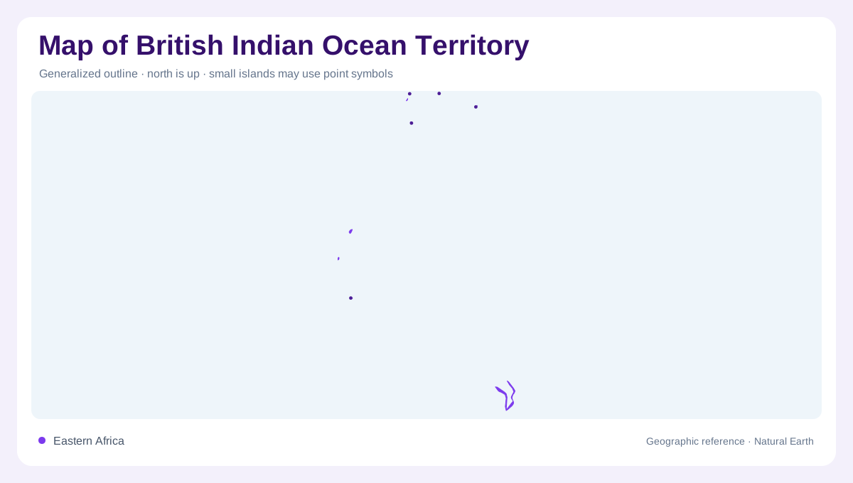
The Chagos geographic frame
The inventory label British Indian Ocean Territory identifies this entry, but it does not establish current sovereignty or resolve the administrative context involving the United Kingdom and Mauritius. The geographic subject is the Chagos Archipelago in the Indian Ocean. Its scattered coral islands occupy a much larger and geographically complex tropical oceanic marine setting of atolls, reefs and submerged banks. A national style outline can obscure that difference between exposed land and underwater structure. This account follows those physical features without treating an official map title as a legal conclusion. The archipelago is best understood through the spaces and shallow platforms between its islands.
Diego Garcia around a lagoon
Diego Garcia lies toward the southeastern part of the mapped archipelago. Its long, narrow land rim encloses a substantial lagoon rather than forming a compact round island. The northern opening and nearby small islands are important parts of that outline. Inside the lagoon, named indentations include Rambler Bay, Catalina Bay and Turtle Bay, showing how much geographic detail exists within the atoll itself. Ocean facing and lagoon facing shores belong to different sides of the same narrow land. Diego Garcia should not be presented as an ordinary capital city or used as a substitute for all the outer islands.
Peros Banhos and the Salomon group
Peros Banhos and the Salomon Islands occupy the northern part of the Chagos arrangement, separate from Diego Garcia. Their names refer to distinct atoll groupings, not districts on the larger southeastern island. Blenheim Reef lies nearby in the northern marine setting, while Speakers Bank appears farther north on the official geographic map. These features require different symbols because a reef or submerged bank is not equivalent to permanently exposed island land. An overview that labels only Diego Garcia would omit this northern complexity and give a misleading impression of the archipelago's distribution across the surrounding Indian Ocean waters.
The Great Chagos Bank and outer features
The Great Chagos Bank dominates the central mapped area as an extensive shallow marine structure. Named islands associated with its margins include the Three Brothers, Eagle Islands, Danger Island and Nelsons Island. The Egmont Islands lie farther southwest, while Pitt Bank and Ganges Bank identify additional submerged features beyond them. Their separation demonstrates why the archipelago's geography cannot be measured simply by adding island land areas. The banks occupy water space and have their own outlines. A small island symbol may represent exposed ground beside a much larger underwater platform, rather than an isolated rock surrounded immediately by deep ocean.
Reefs, seabirds and limited terrestrial habitat
The Chagos environment includes coral reefs, seagrass habitats and islands used by breeding seabirds. Sooty terns, brown boobies and red-footed boobies belong to the documented bird community, while coconut crabs provide a distinctive terrestrial example. Green turtles use marine habitats including seagrass beds. These connections make the surrounding water integral to the islands' ecology. The geographic emphasis remains on habitat relationships, not claims about present protected-area legislation, access or population. Coral platforms, narrow land rims and lagoons create sharply different environments within a dispersed oceanic setting whose physical structure remains meaningful independently of changing administrative terminology and political decisions.