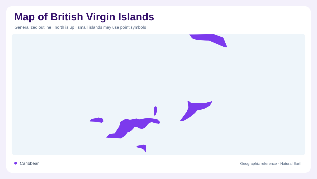
An archipelago with unequal islands
The British Virgin Islands comprise many geographically separate tropical Caribbean islands whose landforms differ substantially. Tortola, Virgin Gorda, Anegada and Jost Van Dyke provide the main framework for an overview, but smaller islands also contribute to the territory's geography. A country label centred on open water can make this arrangement look more compact than it is. Individual shorelines and the spaces between them deserve equal attention. The islands should also be distinguished from the neighbouring United States Virgin Islands, which form a separate territorial unit. Shared regional naming does not turn the two groups into one administration or one continuous landmass.
Tortola's hills and coastal indentations
Tortola is the largest island and contains the territory's capital. Its landscape includes mountains, coastal plains and deeply indented shorelines, so a short distance across the island may involve a substantial change in elevation. Brandywine Bay and Soper's Hole offer named coastal references within this varied outline. The island's prominence can make it appear to stand for the whole archipelago, but it is only one component. A detailed Tortola map explains its own land and water relationships; it cannot establish the position of distant islands that fall beyond the frame or appear only as labels along the edge.
Virgin Gorda and Spanish Town
Virgin Gorda has its own combination of elevated terrain, beaches and protected natural areas. Spanish Town is its principal settlement, giving the island a human geographic centre separate from Tortola. The shape of the island matters when interpreting where settlements and sheltered waters lie, while relief helps distinguish high ground from the coastal margin. Maps focusing on accommodation or activities may emphasize selected points, but the underlying island remains a connected physical landscape. Reading that shape before individual symbols prevents a cluster of highlighted destinations from being mistaken for the full extent of Virgin Gorda's inhabited and natural environments.
Anegada breaks the volcanic pattern
Anegada is notably low and formed of coral and limestone, contrasting with the volcanic origins of most neighbouring islands. This difference is fundamental rather than cosmetic. Its near level surface and surrounding reefs create a landscape in which small elevation changes and shallow water features matter more than mountain contours. The Settlement provides its main township reference. Reef lines, underwater formations and exposed land need distinct symbols because they occupy different parts of the island system. Anegada can therefore be geographically extensive in shallow marine terms even where its visible land seems simple beside the steeper outlines of Tortola and Virgin Gorda.
Jost Van Dyke and the smaller isles
Jost Van Dyke contributes another compact island landscape, including the northeastern coastal feature known as Bubbly Pool. Other named islands include Norman Island, Great Camanoe and Prickly Pear, while some smaller pieces of land are uninhabited. An island name alone does not establish a town, a public landing or any particular access arrangement. At archipelago scale, the essential pattern is a collection of varied landforms separated by sea. At island scale, hills, bays, reefs and settlements become distinct. Maintaining both views preserves Anegada's exceptional low relief and the separate identities of islands otherwise easily compressed into a single Caribbean label.