Between a river and a sea
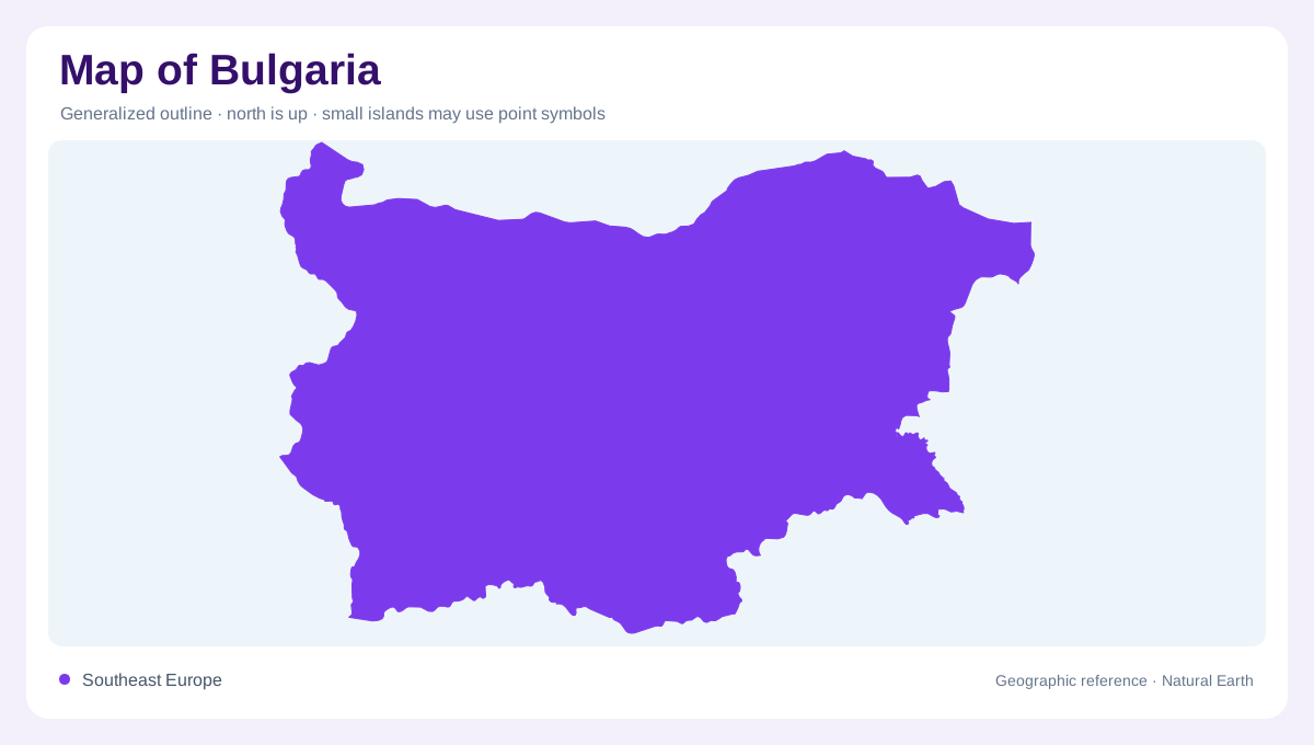
Bulgaria occupies the northeastern part of the Balkan Peninsula, with the Black Sea on its eastern edge and the Danube defining much of its northern boundary with Romania. Serbia and North Macedonia lie west, while Greece and Turkey border the south. This position brings continental and Mediterranean influences into a relatively compact area. The coast is only one part of the country's outline: inland plains, enclosed basins and mountain chains occupy much of the territory. Sofia belongs to that interior geography, whereas Varna and Burgas identify two major coastal settings along the Black Sea's western margin.
The Danube's southern tributaries
Northern Bulgaria drains extensively toward the Danube. The Iskar rises in Rila and eventually reaches that larger river, linking southern high ground with the northern boundary. Other tributaries include the Lom, Ogosta, Vit, Osam and Yantra. Their separate valleys divide the northern landscape into several corridors rather than one uninterrupted plain. The Danube itself continues beyond Bulgaria, so its national border role is only part of its continental significance. A drainage map reveals this hierarchy clearly: smaller Bulgarian catchments join a major international river whose waters ultimately enter the Black Sea farther downstream, outside the country's own coastal stretch between its northeastern and southeastern coastal border points.
Mountain country in the southwest
Rila and Pirin contain conspicuous alpine terrain, including lakes occupying hollows shaped by past glaciers. These waters lie high above the lowland river networks and differ fundamentally from coastal lagoons. The Seven Rila Lakes are a recognisable group within this mountain setting. Relief also influences temperature and the duration of snow cover, so conditions in these ranges cannot be inferred from the nearby plains alone. The Balkan Mountains form another major geographic division farther north, while the Rhodopes occupy a broad southern mountain region. Bulgaria's highlands therefore comprise several distinct systems, not one continuous ridge with a single name.
Southern waters and eastern outlets
The Maritsa belongs to the drainage system flowing toward the Aegean, rather than the Danube or directly to Bulgaria's Black Sea coast. The Arda and Tundzha also form part of the southern water network, while the Struma and Mesta follow separate valleys toward the Aegean. Farther east, rivers such as the Kamchia, Ropotamo and Veleka reach the Black Sea more directly. These different destinations make watershed boundaries important. Two valleys close together on a national map may send their water toward different seas, and a mountain divide can explain that contrast more effectively than the nearest provincial boundary does.
Lakes behind the Black Sea shore
Bulgaria's eastern margin includes more than beaches and open water. Around Burgas, named lakes include Burgas, Atanasovsko and Pomorie, while Varna and Beloslav lakes belong to a separate northern coastal setting. Farther north, Shabla and Durankulak add another group of waters close to the shore. Their lowland surroundings contrast with the glacial lake basins of Rila and Pirin. Distinguishing these origins prevents every blue patch from being read as the same kind of lake. The coastal sequence completes a varied national geography in which river plains, forested mountains, alpine hollows and wetland margins occupy very different positions and elevations.