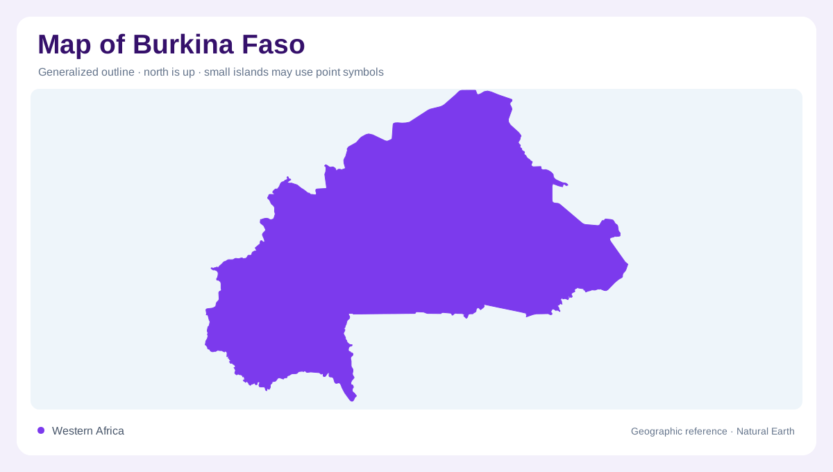
An inland West African landscape
Burkina Faso has no coastline, so its geographic connections are expressed through neighbouring land and river basins rather than an ocean frontage. Watercourses cross a landscape where rainfall changes markedly between the southwest and north. This variation makes a single national description of dryness misleading. Some areas receive a longer wet season, while others depend on a much shorter interval of rainfall. A country map gains explanatory power when those climatic differences are placed beside drainage. The resulting pattern shows how separate parts of Burkina Faso connect to larger West African water systems beyond the limits of the national outline.
The extensive Volta basin
The Volta basin occupies much of central and western Burkina Faso. Its large footprint makes it the principal drainage framework across a share of the country. Basin maps show contributing land, not just the visible channels, so they include slopes and smaller tributaries that may disappear from a simplified overview. This is useful when interpreting cultivated valleys or water storage: their upstream catchments can be much larger than the features themselves. The Volta name therefore describes a connected system rather than one isolated river line. Administrative boundaries can divide that system into districts without changing the direction water drains.
Southwestern Comoé waters
The Comoé basin belongs to southwestern Burkina Faso, where rainfall is greater and the wet season longer than in the north. FAO distinguishes southwestern rivers from the strongly temporary channels that characterize much of the country. This difference means the southwest cannot be treated as merely a wetter shade of the same hydrological pattern everywhere else. River continuity, local lowlands and agricultural opportunities need to be considered together. A map showing only national averages would miss the relationship between this basin and its climatic setting. The southwest's water geography is a regional feature with consequences extending beyond individual named channels.
Eastern connections to the Niger
Northern and eastern parts of Burkina Faso include land draining toward the Niger system. These catchments form a third division beside the Volta and Comoé basins. Their presence is a reminder that the whole country does not drain south through one unified river network. A watershed boundary separates contributing areas even when no striking mountain range is drawn on the map. Tracing smaller streams into larger systems makes that division easier to follow. Seasonal channels also require careful interpretation: their mapped course remains meaningful when dry, but the line cannot establish how much water is flowing at a time.
Rainfall, low ground and cultivation
The wetter season is shorter in northern Burkina Faso and longer toward the south, with July and August significant in the annual rainfall cycle. Intense showers can produce runoff even where long dry intervals dominate the wider year. Low lying cultivated areas, often described as bas-fonds, collect water differently from surrounding ground. They may support farming without resembling a large engineered irrigation scheme. A detailed land use map should preserve this distinction between valley moisture and formal water infrastructure. Together, the three drainage affiliations, rainfall gradient and small cultivated depressions explain a country whose water geography is varied despite its inland setting.