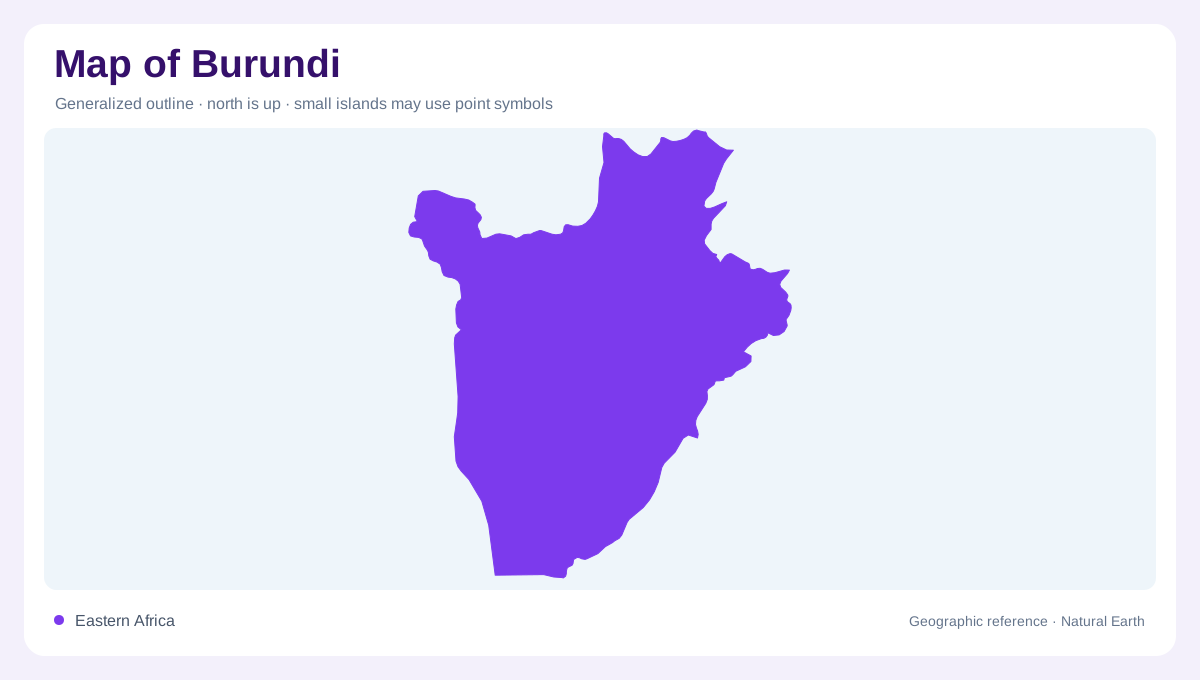
A lakeside inland country
Burundi is landlocked, yet water forms one of its most prominent geographic edges. Lake Tanganyika borders its western side and creates a strong visual reference for the country. The lake should not be read as a sea coast: it belongs to a large continental East African lake basin surrounded by several countries. Inland from its shore, elevation rises into hill country and highlands. This relationship between a large lake and nearby elevated terrain gives Burundi more physical variety than its small national outline suggests. The west to east change in relief provides a useful starting direction for understanding the country's regional structure.
The lower Imbo plain
The Imbo plain occupies lower ground in western Burundi. Compared with the higher interior, it is warmer and relatively dry, demonstrating how altitude can modify climate over short distances. Its flatter land also contrasts with the slopes and dissected terrain farther inland. Agricultural geography responds to these differences: land that can be managed as a broad plain presents different drainage questions from a hillside. The lake margin and the Imbo should therefore be examined together, but not treated as identical features. One is a water body; the other is a terrestrial lowland with its own soils, settlements and watercourses.
Kibira's elevated landscape
The Kibira chain runs from the north toward the country's centre and forms a cooler, wetter highland environment. Its elevation distinguishes it from both the western lowlands and the more moderate eastern plateaux. A temperature map without relief would leave this contrast unexplained. Rainfall patterns likewise follow terrain rather than simply latitude. On a physical overview, the high ground appears as an organizing spine, but close inspection should reveal individual valleys and slopes within it. Treating the entire area as one undifferentiated mountain block would hide the smaller catchments that carry water away from the elevated interior toward lower areas.
Two large drainage affiliations
Burundi's waters belong to two major drainage settings. Western catchments face Lake Tanganyika, while northern and eastern drainage belongs to the Nile basin. This division is more significant than the visual prominence of any single stream on a small map. Rain falling on opposite sides of a divide can enter water systems with very different continental destinations. The boundary between those systems is defined by relief, not by a provincial line. Tracing tributaries upstream toward higher land makes the relationship visible and explains why nearby valleys can be hydrologically separate despite lying within the same small East African country.
Plateaux, depressions and cultivated bottoms
Eastern and southeastern Burundi include plateaux whose conditions differ from the warmer Imbo and wetter Kibira heights. The Mosso depression adds another lower landscape within this regional pattern. Marshes and valley bottoms also matter, because cultivated low ground can occupy narrow spaces between more prominent hills. Their small size makes them easy to omit from a national overview, although they can be central to local land use. A useful reading moves between the large drainage divide and these smaller terrain units. Burundi's compact outline then resolves into lake frontage, western plain, highland chain, eastern plateaux and carefully differentiated valley floors.