An Atlantic island country
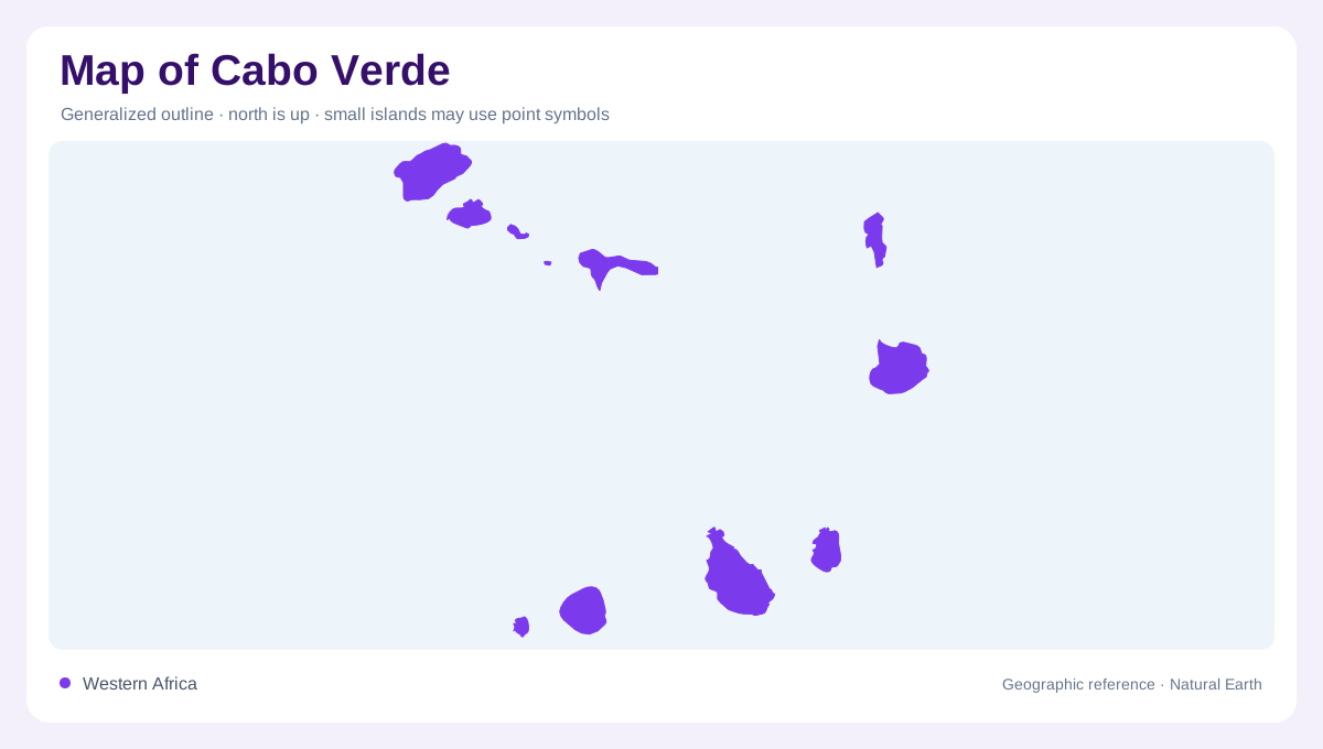
Cabo Verde lies in the Atlantic off the West African coast, separated from Senegal by several hundred kilometres of ocean. It is an archipelago, and its islands need to remain individually identifiable on a national map. The spaces between them form a part of the country's geographic setting. Comparing land area with the whole map frame can therefore be misleading. Some islands are mountainous, while others are much lower, creating contrasts that a collection of simple dots cannot convey. A useful overview preserves both the separation of the islands and their unequal relief rather than treating them as interchangeable pieces.
Northern and southern groupings
The archipelago is divided into a northern windward group and a southern leeward group. These labels provide a broad organizing framework, but do not mean that every island within each group has identical conditions. Elevation and exposure strongly affect rainfall. A mountain slope facing moisture bearing winds can have a different environment from a sheltered valley nearby. The two island groups should consequently be read alongside individual terrain, not as a substitute for it. Their arrangement explains the national outline, while island relief explains many of the local contrasts in vegetation, water availability and the extent of cultivable ground.
Santiago and Santo Antão valleys
Santiago and Santo Antão are particularly important in the geography of irrigated land. Their valleys concentrate workable spaces and water sources within more rugged terrain. The term ribeira is useful in this setting, referring to valleys or watercourses that organize local drainage. A mapped channel does not necessarily indicate a river flowing continuously through the year. Water availability depends on rainfall, springs and groundwater conditions. Fields can therefore occupy selected valley sites while adjacent slopes remain much drier. Recognizing this pattern prevents an irrigated green patch from being mistaken for a description of an entire island's climate or land cover.
São Vicente and lower island settings
São Vicente contains Mindelo, an important urban reference within the archipelago. Its water setting differs from that of the more productive irrigated valleys on Santiago and Santo Antão. Boa Vista illustrates another island contrast, with lower relief than the more mountainous parts of Cabo Verde. Low islands and mountain islands do not receive the same rainfall simply because they share an oceanic location. The difference becomes especially clear when comparing physical and climatic maps. Urban symbols, however prominent, should remain secondary to these island distinctions when the aim is to understand the archipelago's natural distribution of water and usable land.
Springs, basalt and seasonal moisture
Groundwater is central to Cabo Verde's water geography. Sources include springs, wells and galleries cut into basalt, revealing connections between rock structure and the places where water can be collected. Rain is concentrated in part of the year, while exposed northeastern slopes can also benefit from moist trade winds. The resulting pattern is highly local: orientation and elevation matter alongside the island's position in the chain. Reading these factors together explains why neighbouring valleys may support different land uses. Cabo Verde's landscape is thus organized by separated islands, varied heights and carefully located water sources within an otherwise dry Atlantic environment.