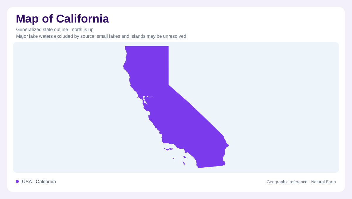
A long state with parallel landscapes
California's length can encourage a simple northern versus southern division, but its geography also changes sharply from west to east. The Pacific shore, Coast Ranges, Central Valley, and Sierra Nevada form a sequence of contrasting landscapes across much of the state. These features are not perfectly parallel or continuous, yet their relationship explains more than a list of cities alone. The Central Valley occupies a long structural trough between mountains, rather than an open extension of the coast. Farther east and south, desert basins add another dimension. Offshore islands extend California beyond the mainland silhouette and its mountain corridors.
The valley's rivers converge
Within the Central Valley, the Sacramento River drains the northern portion, while the San Joaquin serves much of the middle region. They meet in the Sacramento and San Joaquin Delta before their waters enter the upper San Francisco Bay system. This convergence gathers drainage from a broad inland area toward a comparatively restricted coastal outlet. The southern valley also includes the Tulare Basin, which has a distinct drainage setting. Treating the entire valley as one evenly drained plain would obscure these differences. Sediments carried from surrounding mountains accumulated here over long periods, producing the thick deposits beneath the valley floor.
Mountains as the valley's water source
The Sierra Nevada forms the Central Valley's eastern mountain boundary, with the Cascade Range joining the framework toward the northeast. Rain and snow in these uplands supply streams descending into the valley. This creates a crucial geographical connection between mountain precipitation and lower agricultural land. The valley's sand and gravel deposits also store groundwater, so water is present beneath the surface as well as in rivers. The Coast Ranges influence the western side by intercepting moisture moving inland from the Pacific. These relationships explain why the valley floor and surrounding mountains differ in both terrain and available moisture.
Volcanic country and desert contrasts
Northern California includes volcanic landscapes associated with the southern Cascades, contrasting with the Sierra Nevada's extensive crystalline rocks. Southward and eastward, arid terrain becomes another major part of the state's physical variety. Death Valley contains a basin below sea level beside high mountain country. In the Mojave, Castle Mountains protects a landscape of desert mountains and grasslands. These examples show that California's desert interior is not simply a flat continuation of the Central Valley. Separate basins and intervening heights create strong local differences, and elevation remains important even where broad climatic descriptions group places together as dry country.
Bays, headlands, and offshore islands
San Francisco Bay links inland drainage with the Pacific through the Golden Gate, a narrow opening whose position gives the bay a distinct geographical identity. California's shore also contains coastal landforms and islands that require a closer scale than the statewide outline. Channel Islands National Park protects five islands and their surrounding marine environments off the mainland coast of southern California. Their separation has shaped distinctive plant and animal communities. Mainland and island geography should therefore remain connected but distinguishable. Combining the coast, valley rivers, mountain watersheds, volcanic north, and desert basins gives a fuller account of California than its long shoreline can provide alone.