Between mainland neighbours and the Gulf
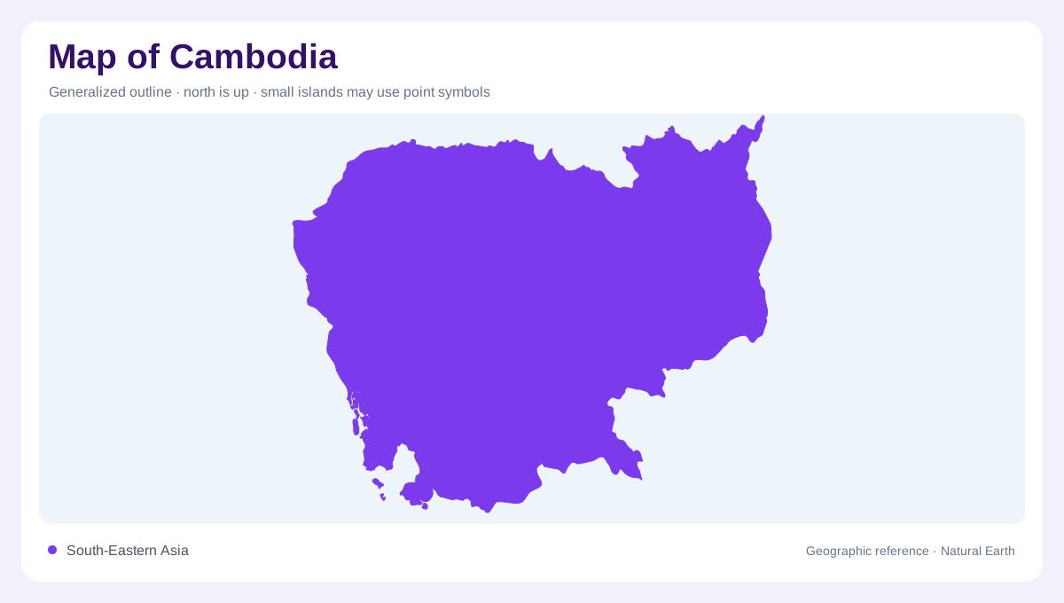
Cambodia sits between Thailand, Laos and Vietnam, with a southwestern coastline on the tropical Gulf of Thailand. This position combines an inland river landscape with a separate maritime edge. A national map should keep those settings distinct rather than presenting the entire country as one continuous delta. Rivers, lowlands and cultivated areas form important connections toward neighbouring countries, while the coast faces a different body of water. The outline becomes more meaningful when these relationships are shown together. Cambodia's geography is shaped both by its place within mainland Southeast Asia and by the smaller patterns of water movement inside its own borders.
Tonle Sap as a central reference
Tonle Sap, the Great Lake, is a defining reference within Cambodia's interior. The landscape around it connects water, settlement history and agricultural ground. Angkor developed near this lake, placing its monuments within a wider geographic setting rather than an isolated archaeological location. A map focused solely on temple points can miss the nearby water landscape that helps explain the region. The lake and surrounding lowlands need different symbols because inundated land is not always permanent open water. Seasonal conditions can change what is visible, so the shoreline on a particular image should be interpreted with its date in mind.
Floodplains and subtle differences in height
Cambodia's floodplain agriculture depends on differences in elevation that may be too small to appear clearly on a national relief map. Depressions, natural levees and tributaries influence where water spreads and where it remains as floods recede. Farmers have used those variations through bunds, ditches and small storage areas. A geometric field pattern can therefore conceal a close relationship with natural microrelief. Understanding the terrain requires more than identifying the main river channel. The broad floodplain includes many smaller water receiving and water retaining spaces, each with a different role in the seasonal movement of moisture across cultivated land.
Historic reservoirs and ordered landscapes
Angkor's walls, moats and large rectangular ponds reveal a deliberately arranged landscape. Their orientation adds a human geometry to the surrounding environment, but an orderly plan should not automatically be interpreted as one perfectly integrated irrigation system. The geographic question is how each feature relates to catchments, slope and neighbouring land. Elsewhere in Cambodia, canals built in rigid grids have sometimes conflicted with the direction of the terrain. Straightness on a map is therefore no proof of effective water movement. The contrast between imposed lines and natural gradient is an important part of reading the country's historic and agricultural waterworks.
Working with receding water
Recession farming uses moisture left as floodwaters withdraw, with stored water and tributaries sometimes supporting additional watering. This differs from assuming that every cultivated floodplain field receives continuous controlled irrigation. Bunded fields, ponds and small dams form a varied local water landscape, while larger rivers establish the broader regional connections. Rice cultivation is particularly associated with these lowland environments. At a closer scale, differences between a field, a reservoir and a natural depression become important. Cambodia's map is most informative when its Gulf frontage, Great Lake setting and floodplain water patterns remain visible alongside the historical structures layered onto them.