Several coastlines, several regional frames
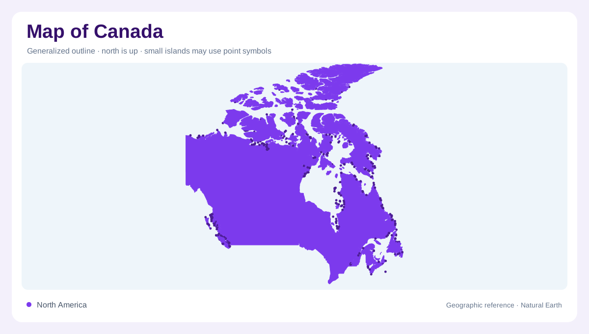
Canada is too extensive for its outline alone to communicate the country's geography. The Atlantic provinces, Central Canada, Prairie provinces, Pacific coast and northern territories provide a regional framework. Each groups places with recognizable geographic relationships, but none replaces the finer distinctions within individual provinces. Ten provinces and three territories also form a framework that overlaps imperfectly with mountains, watersheds and ecological zones. Ottawa is the national capital, while provincial and territorial capitals identify centers across this enormous space. A national map becomes more useful when these administrative labels are read alongside the physical regions rather than separately.
Atlantic islands and mainland shores
Atlantic Canada includes Newfoundland and Labrador, Prince Edward Island, Nova Scotia and New Brunswick. The combined name Newfoundland and Labrador is particularly important: the province includes both an island component and a mainland component. Prince Edward Island is a separate province, despite its small appearance on a national overview. Nova Scotia's coastline and the Bay of Fundy introduce strongly maritime landscapes, while New Brunswick also reaches into the Appalachian region. Halifax, Charlottetown and Fredericton are provincial capitals; St. John's in Newfoundland differs from Saint John in New Brunswick. Similar place names can conceal different provincial locations on maps crowded with coastal settlement labels.
The Great Lakes and Saint Lawrence corridor
Southern Ontario and Quebec contain a concentration of Canadian settlement around the Great Lakes and Saint Lawrence River. Toronto, Montreal and Quebec City help locate this broad corridor, while the provinces themselves extend far beyond it. The Great Lakes also require attention to the international boundary: Lake Michigan lies entirely within the United States, unlike the shared lakes adjoining Ontario. Farther inland and northward, Canadian Shield landscapes contrast with the southern urban and agricultural belt. Consequently, a dense cluster of city symbols near the international boundary should not be mistaken for a representative picture of all Ontario or Quebec.
Prairies meet the mountain west
Manitoba, Saskatchewan and Alberta form the Prairie provinces, associated with extensive farmland and a comparatively dry continental climate. Winnipeg, Regina and Edmonton anchor their provincial geography, although Alberta also reaches into the Rocky Mountains. Banff and Lake Louise demonstrate why a Prairie province cannot simply be colored as uninterrupted level grassland. Beyond the Rockies, British Columbia combines mountain terrain with a Pacific coastal setting. Vancouver and Victoria identify different urban locations within that western region. The Okanagan Valley adds another interior landscape, distinct from both the maritime coast and the high mountains that dominate many familiar images of British Columbia.
Northern rivers and elevated country
Yukon, the Northwest Territories and Nunavut extend the country's geography far beyond its southern settlement corridors. Mount Logan in Yukon is Canada's highest mountain, while the Mackenzie system gives the Northwest Territories a major river framework. Nunavut's capital, Iqaluit, marks another northern center within a widely dispersed geography. Tundra, long winters and pronounced seasonal daylight characterize much of the Arctic setting, but conditions vary with latitude and terrain. The North therefore deserves its own map scale rather than a compressed margin above the provinces. Mountain country, river basins and Arctic communities represent different dimensions of this vast part of Canada.