A basin framed by higher ground
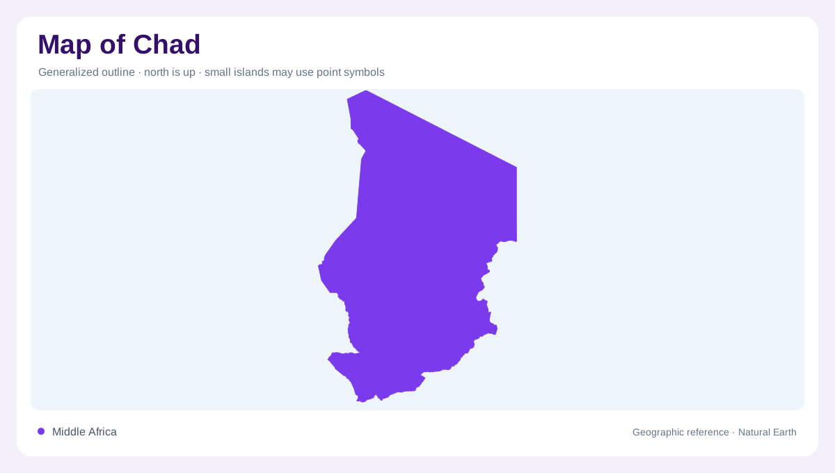
Chad's outline encloses an interior African landscape that rises toward its northern and eastern edges. Broad plains occupy much of the country, but the Tibesti uplands make the northern Sahara far more varied than a uniform field of sand. At national scale, the relationship between this elevated rim and the lower basin is more informative than a single average elevation. The country has no marine coast. Its best known water body, Lake Chad, belongs to an inland drainage setting, while southern river systems connect places far beyond the immediate lakeshore. These contrasts give Chad several distinct geographic centers of attention.
Three environments from north to south
The northern Sahara, central Sahel and wetter southern Sudanian zone form a sequence across Chad. Rainfall increases southward, although seasonal and annual variation complicate any fixed boundary drawn between these environments. Desert terrain in the north includes dunes and oasis settings, alongside the elevated Tibesti landscape. Central areas form a transition where water availability differs substantially from the southern river country. In the south, more abundant rainfall supports a different agricultural and vegetation pattern. A national rainfall average obscures this geography: it combines exceptionally dry northern expanses with regions whose rainy season contributes much more water to rivers and soils.
The Chari and Logone connection
The Chari and Logone organize much of southern Chad's surface water geography. Their headwaters extend into neighboring countries, demonstrating that the country's water supply cannot be understood from its borders alone. The Chari receives drainage originating in the Central African Republic, while the Logone system reaches back into Cameroon. Following these rivers toward Lake Chad explains why upstream rainfall matters for distant lowlands. Around their courses, floodplains widen the geographic footprint of water beyond the channel itself. A river map should therefore distinguish the narrow permanent course from adjoining ground that may be inundated during part of the seasonal cycle.
Lake margins that resist a fixed outline
Lake Chad lies within a shared regional basin, and its mapped water edge requires a date and an understanding of what is being represented. Open water, marsh vegetation and seasonally flooded land are different features even when a simplified map gives them one color. Historical outlines can consequently appear inconsistent without either depicting precisely the same conditions. Lake Fitri adds another important inland water setting, supplied by the seasonal Batha River. Smaller lakes and wetland depressions further complicate the picture. The presence of several separate water bodies should not suggest that all are connected by a permanent navigable surface network.
A small connection beyond the main basin
The Mayo Kebbi drainage introduces a further relationship: it leads toward the Benue and the Niger system. This means Chad's geography cannot be reduced entirely to Lake Chad, despite the lake's prominence in the country's name. Underground aquifers also matter across extensive sedimentary areas, including places where surface water is scarce. They are less visible on conventional maps than lakes or rivers but help explain the importance of wells and oases in dry environments. Combining basin boundaries, terrain and seasonal water gives a fuller account of Chad than using the desert edge or the lakeshore as its sole organizing feature.