A long mainland beside the Pacific
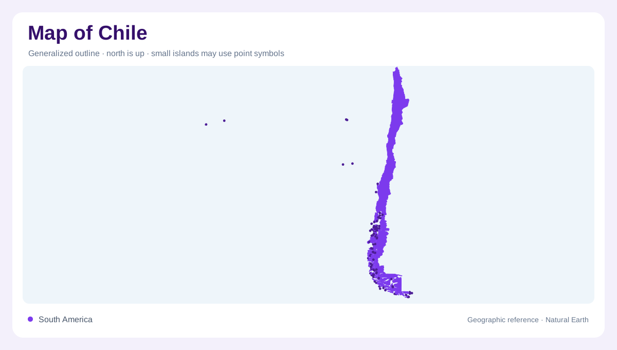
Chile extends along the southwestern side of South America, between the Pacific Ocean and the Andes. Its length creates a north to south environmental range, while its comparatively narrow width brings coast and mountains into close geographic relationship. An overview must therefore preserve both directions: stretching the country vertically can conceal important crosswise changes in relief. The continental territory is also not the entire national geography. Juan Fernandez, Rapa Nui and other Pacific islands lie offshore at very different distances. Their inclusion requires oceanic context rather than placing them beside the mainland without an indication of the intervening sea.
Atacama and the northern dry country
Northern Chile contains the Atacama Desert, where exceptionally dry conditions contrast with the much wetter south. Coastal influence, elevation and interior mountain barriers complicate this regional pattern. Fog along parts of the coast is not equivalent to abundant rainfall throughout the desert. Inland slopes and high ground create additional environments within the broad northern region. The Norte Chico provides a transition toward the central country, rather than an abrupt switch at a single latitude. A climate map read together with relief helps distinguish the coastal margin, interior aridity and upland conditions that coexist within Chile's comparatively narrow northern mainland strip.
Two ranges and the valley between
The Andes form the major eastern mountain framework, while a separate coastal range runs along much of the western side. Between them lies the Central Depression, an important organizing feature for settlement and agriculture. A second lower strip occurs between the coastal mountains and the Pacific. This arrangement makes Chile more complicated than a single mountain wall descending directly into the sea. Rivers cross the longitudinal terrain toward coastal outlets, opening valleys through the ranges. Santiago belongs to the central part of this geographic framework. Its position differs from that of coastal settlements even when both appear close on an overview.
A wetter and fragmented southern landscape
Farther south, increasing rainfall and a more fragmented coastline transform the mainland pattern. Chiloe introduces a substantial island component near the southern lake country, while the far south contains many separated coastal landforms. The apparent continuity of a national north to south outline can consequently obscure channels and island separations. Southern geography deserves enough space to distinguish land from enclosed or intervening sea. The contrast with the Atacama is considerable: wet southern environments and dry northern ones occupy opposite ends of the same elongated territory. Neither extreme alone provides an adequate description of Chile's coast, interior or overall physical character.
Distant islands and the Antarctic distinction
Juan Fernandez lies much nearer the mainland than Rapa Nui, also called Easter Island. San Felix, San Ambrosio and Salas y Gomez add further offshore points to Chile's Pacific geography. These islands should be located independently rather than represented as one tightly clustered archipelago. An ocean inset can preserve their different distances and orientations while the mainland receives a useful scale. Antarctic claims require a separate distinction: a claimed sector is not an ordinary continuation of the South American land boundary. Keeping that cartographic category explicit avoids confusing a national claim with an uncontested extension of the country's continental outline.