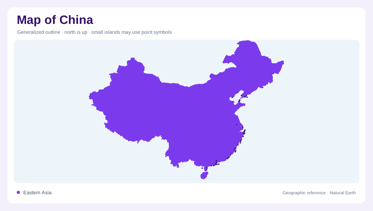
A continentward rise from the Pacific
China occupies the eastern side of the Eurasian landmass, with an extensive Pacific margin and an interior reaching high Asian plateaux. Its broad elevation pattern descends from the west toward eastern lowlands, but mountains, basins and hills interrupt any smooth staircase. The distinction between high western terrain and lower eastern country helps explain river directions and regional climate. It also warns against interpreting the national outline as one continuous plain. A map should preserve interior depressions as well as surrounding uplands, since low enclosed basins can occur far from the coast within an otherwise elevated part of the country.
Northwestern rivers without an ocean outlet
The Tarim and Qaidam basins illustrate China's inland drainage geography. Water in such enclosed systems does not necessarily reach a sea, unlike the familiar rivers of the eastern plains. Aridity is especially pronounced in the northwest, where mountains and plateaux limit the penetration of moist monsoon air. Desert areas and irrigated cultivation consequently occupy different parts of the same regional landscape. The distinction is hydrological as well as climatic: a blue line ending inland may be a complete river system rather than an unfinished cartographic feature. Catchment boundaries reveal why these western waters follow a different pattern from eastern drainage.
Yellow River and northern plains
The Huang, or Yellow River, provides a major axis through northern and central China. Its basin includes areas with different moisture conditions from the wetter southern river country. Farther east, the North China Plain belongs to a broader group of drainage systems that also includes the Hai and Huai. These names should not be collapsed into a single northern watershed. In the northeast, the Songhua and Liao add further river landscapes with their own geographic orientation. Northern China therefore contains several distinct basin regions, ranging from semiarid interiors to plains where both excess water and shortages can influence land use.
Yangtze and Pearl river country
The Chang Jiang, commonly called the Yangtze, links a large southern drainage area with the sea near Shanghai. Its middle and lower reaches form a major geographical corridor, while tributaries extend into different upland settings. Farther south, the Zhu, or Pearl River system, drains another region toward the coast. These basins occupy generally wetter monsoon environments than the northwestern interior, although seasonal drought remains possible. Rice cultivation is associated with much of this humid country, while higher ground supports different agricultural conditions. River names thus provide a framework for understanding the south without implying that its terrain or climate is uniform.
Headwaters with several downstream names
China's southwestern uplands contain headwaters whose names change as rivers continue into neighboring countries. The Lancang becomes the Mekong, the Nu continues as the Salween, and the Yarlung Tsangpo joins the Brahmaputra system. These connections show why the country's hydrology extends beyond rivers reaching its own Pacific coast. Some northern and western waterways also enter neighboring inland basins. Political boundaries and watershed limits consequently describe different relationships. Where maps display disputed boundaries, their line styles require attention and do not establish universal agreement. A geographic reading can explain relief and drainage while keeping those territorial questions distinct from physical landforms.