An Australian island near Indonesia
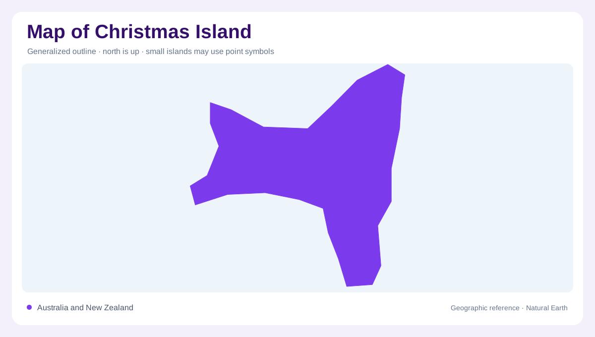
Christmas Island lies in the Indian Ocean, much closer to Indonesia than to the Australian mainland. This position is essential to understanding its map: Australian administration does not imply a location beside Australia's continental coast. The Cocos (Keeling) Islands lie farther west and constitute another territory, not an outer district of Christmas Island. At ocean scale, these relationships establish the island's isolation and regional context. At island scale, attention shifts to a compact landmass with steep coastal edges and an elevated interior. Its shape reflects a geological history in which volcanic foundations, coral growth, uplift and marine erosion all contributed.
A volcano beneath the limestone
The island began as the upper part of a volcanic seamount rising from the deep ocean floor. Coral reefs subsequently developed on that volcanic foundation, and repeated uplift helped create the limestone cap visible today. This layered construction explains why Christmas Island is neither simply a coral atoll nor an ordinary exposed volcanic cone. Basalt underlies the limestone and appears at places including the Dales and Dolly Beach. A geological map can therefore reveal two different stories within the same outline. The rock at the surface records reef development, while exposed basalt points to the older volcanic structure beneath.
Terraces and the central plateau
Successive episodes of uplift and wave erosion produced stepped terraces and inland cliffs. These features give the island a tiered profile that a flat outline cannot convey. Murray Hill rises to 361 metres above sea level, marking the highest point. The importance of that elevation lies partly in its relationship to the nearby shoreline: substantial relief is concentrated within a small island. Terraces should not be mistaken for separate mountain ranges, since they belong to the same uplifted structure. Reading contour spacing alongside geological boundaries helps distinguish the plateau surface, intervening scarps and lower coastal levels within this compact terrain.
A coast interrupted by small bays
Much of Christmas Island's shoreline consists of sea cliffs. Breaks in this edge create relatively small bays and beaches, with Flying Fish Cove the largest bay identified by Parks Australia. The contrast between a continuous outline and these limited indentations matters when interpreting the coast. An apparently short distance along the shoreline may cross cliffs rather than a continuous beach. The Dales and Dolly Beach also provide geographic reference points for exposed volcanic rock. Coastal symbols consequently describe different landforms: a bay, a cliff and a beach each express a different relationship between the sea and the island's elevated interior.
Rainfall follows an underground route
Limestone allows much of the island's rainfall to enter a karst drainage system. Water collects in caves and sinkholes near the boundary between limestone and underlying volcanic rock, and some returns to the surface as springs. Underground water bodies can also connect with the ocean. A sparse surface river network therefore does not mean that water plays little part in shaping Christmas Island. Its drainage is partly hidden beneath the mapped land surface. Bringing caves, springs and rock layers into the interpretation connects the island's hydrology with its terraces and cliffs, revealing a landscape whose most important processes extend below ground.