Two atolls in the eastern Indian Ocean
The Cocos (Keeling) Islands comprise a coral island group in the Indian Ocean southwest of Indonesia and northwest of mainland Australia. Their land area contrasts with the surrounding expanse of ocean. North Keeling lies apart from the main group, approximately thirty kilometres away, so a map showing only the familiar southern lagoon omits an essential component. The Australian government's description counts twenty seven coral islands across the territory. At regional scale, the separation of the two atolls is the relationship. At local scale, narrow land strips, reef margins and lagoon water become the features that define the geography.
The southern horseshoe
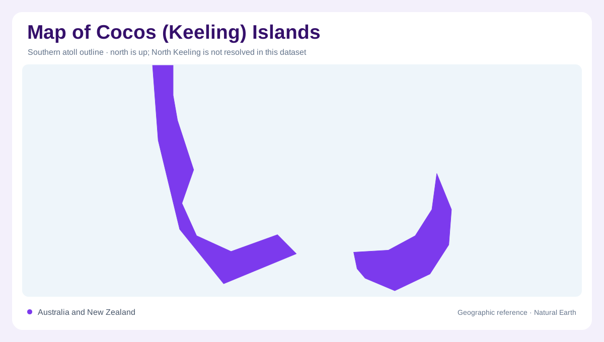
Most of the islands form a horseshoe arrangement around a lagoon. This structure differs fundamentally from a solid island with a lake in its center: reef, lagoon and separate pieces of dry land together create the atoll. The spaces between islands are therefore as important as their outlines. A map that enlarges only the land can lose the pattern connecting them around the lagoon's perimeter. Looking across the whole southern group makes the horseshoe recognizable and shows why individual island names should remain distinct. The territory's collective name refers to the group, rather than one continuous central landmass alone.
North Keeling's enclosed interior
North Keeling is itself a small coral atoll, with a lagoon occupying much of its interior. Parks Australia describes the island as approximately two kilometres long and just over a kilometre wide. Its ground is low and flat, and its soils reflect the abundance of calcium carbonate. The lagoon formerly had an opening to the ocean, but natural deposits closed that entrance in 2005. That history matters when comparing maps made at different dates. An older channel symbol may record a former configuration of the shore. Lagoon margins and entrances are physical features capable of changing within an otherwise recognizable island.
Coral rubble, sand and volcanic foundations
The atolls developed above an old volcanic seamount, although their visible shores are coral landscapes rather than exposed volcanic mountains. North Keeling's windward southern and eastern beaches contain abundant coral shingle. More sheltered shores include both shingle and white sand. These differences reveal how exposure helps sort and accumulate coastal material around a small island. A uniform beach symbol cannot show that variation. Beneath the shallow coral terrain lies a much larger submarine foundation rising from the ocean floor. The contrast between submerged relief and low emergent land explains why land elevation alone gives an incomplete account of the atolls.
A separate ecological geography
North Keeling forms Pulu Keeling National Park and retains a comparatively little disturbed island ecosystem. Its separation from the southern group is consequently ecological as well as spatial. Parks Australia identifies it as the island in the territory retaining its original assemblage of plants and animals. Seabirds and coastal vegetation occupy land around the lagoon, including the former entrance area. These habitats should be distinguished from open marine water and reef surfaces. The two atolls share a broader geological origin, yet their individual shore configurations and environmental histories make them different places. Showing both prevents the southern lagoon from standing for everything.