Two shores at South America's northwest
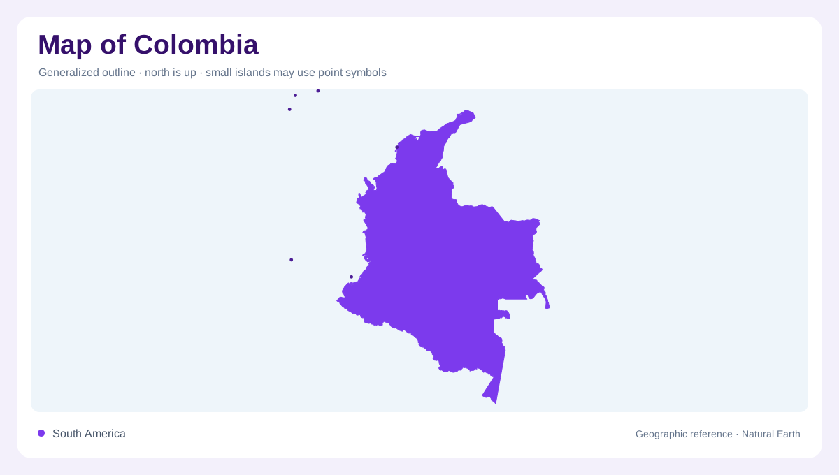
Colombia occupies the northwestern corner of South America, meeting Panama beside the continent's connection with Central America. Its Pacific and Caribbean shores face different marine regions, while eastern and southern boundaries adjoin Venezuela, Brazil, Peru and Ecuador. The coastline alone does not capture this national geography: drainage areas extend inland toward the Orinoco and Amazon. Bogota identifies the capital in the interior, away from either seaboard. A continental overview benefits from showing all these directions together. Colombia is simultaneously a country of two coasts, elevated interior landscapes and river systems whose downstream geography extends far into neighboring South America.
The Magdalena and Cauca corridor
The Magdalena and Cauca form a connected drainage region within Colombia. Their tributaries include named systems such as the Sogamoso, Nechi and Cesar, illustrating the complexity beneath two familiar river names. Valleys provide a geographic contrast with surrounding higher terrain, and the basin covers much more than the channels visible on a simplified map. Its water conditions also vary between wetter and drier periods. Following tributaries into the main network helps explain how separate inland areas contribute to one broader drainage system. This region deserves its own attention rather than being absorbed into a generic category for every river approaching the Caribbean.
Pacific rivers and Caribbean catchments
The Pacific side includes the San Juan, Baudo, Patia and Mira drainage systems. Their geographic setting differs from Caribbean catchments such as the Sinu and the Atrato around the Gulf of Uraba. The Guajira Peninsula introduces another Caribbean environment where water availability differs markedly from very wet parts of the country. Colombia's high national rainfall therefore cannot be applied uniformly to each coast or valley. A water map that groups all seaward rivers together would conceal these differences. The two coastal regions need separate treatment, with their tributaries and adjoining landforms interpreted within the particular side of the continent they drain.
Eastern rivers toward the Orinoco and Amazon
Eastward drainage places Colombia within two continental systems. The Meta, Vichada, Guaviare and Inirida belong to the Orinoco region, while the Caqueta, Putumayo and Vaupes are associated with Amazon drainage. These networks continue across national boundaries and connect Colombian landscapes with Venezuela and Brazil. Their scale gives the eastern country a different orientation from the Pacific and Caribbean margins. Tributary connections matter more here than proximity to the nearest Colombian coastline. A regional map showing the downstream basins makes this clear: water leaving eastern Colombia can travel through extensive neighboring territory before eventually reaching the Atlantic Ocean much farther away.
Islands beyond the continental outline
Colombia's island geography includes San Andres, Providencia and Santa Catalina in the Caribbean, as well as Malpelo in the Pacific. These places should not be shifted mentally onto the nearest mainland shore simply because they share the same national label. Their positions require a wider marine frame or clearly located insets. The Pacific island component also differs from the Caribbean archipelago, making a single offshore dot inadequate. Combining those islands with the five continental drainage regions produces a fuller geographic account. Colombia's national space includes distant marine locations alongside valleys, uplands and rivers linked to several continental systems.