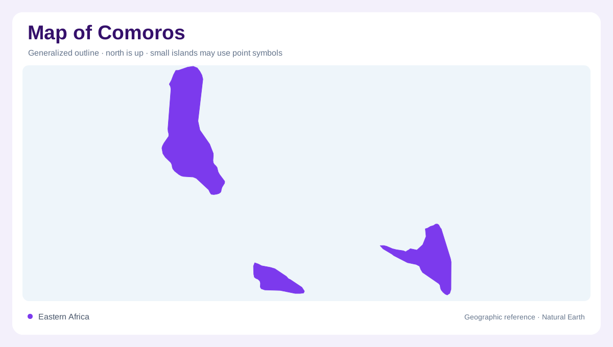
An archipelago with distinct territorial coverage
The Comoros lie near the northern entrance to the Mozambique Channel, between eastern Africa and Madagascar. The Union of the Comoros comprises Grande Comore, Moheli and Anjouan. Mayotte belongs geographically to the same wider archipelago but is administered by France; it should not be silently folded into the same administrative outline. This distinction separates island geography from territorial administration. The three islands covered here are divided by stretches of sea, so their collective identity does not imply a continuous landmass. Each island also has its own relief, giving the group a more varied physical character than three offshore dots suggest.
Grande Comore and the Karthala massif
Grande Comore, also called Ngazidja, is the largest of the three islands and lies farthest west. Moroni occupies its western side near the foot of Karthala. The island's structure includes the Badjini Peninsula in the south, the Karthala massif centrally and the Grille massif farther north. These divisions make its elongated outline more intelligible. Much of the coastline is rocky, while the volcanic interior rises above it. A relief view links Moroni's coastal position with the adjacent mountain rather than treating city and summit as unrelated labels. Grande Comore's geographic identity is strongly shaped by this arrangement of volcanic landforms.
Moheli's plateau and coastal bays
Moheli, or Mwali, is smaller and more oval in outline. Its basalt plateau broadens toward the east and rises into higher ground toward the west. Coral formations, beaches and small mangrove bays create a coastal setting distinct from Grande Comore's predominantly rocky margin. These features occupy different positions around the same island, so a single coastline symbol hides important local variation. The relationship between plateau, higher western ground and coastal habitats gives Moheli a recognizable structure. Comparing it with Grande Comore demonstrates how islands sharing a volcanic origin can nevertheless present different forms of relief and different patterns along their shores.
Anjouan's converging ridges
Anjouan, also known as Ndzuwani, has a triangular shape. Three principal ridges converge around Mount Ntingui near the center. Numerous valleys cut into this terrain, creating a much more dissected landscape than a simple triangle on an overview would imply. The island's extremities include cliffs above the coast, while the river network divides the interior into narrow valleys and intervening slopes. Here the relationship between drainage and relief is especially visible. Tributaries help describe the mountain structure, rather than merely adding water features to it. A detailed map should preserve those ridges and incised valleys wherever its scale allows.
Elevation changes rainfall within each island
Comorian rainfall varies with elevation and the orientation of slopes, producing local differences within each island. Coastal conditions cannot simply be extended to the mountainous interior. The humid tropical setting includes a warmer wet season and a cooler drier season, but topography creates additional variation beyond that annual pattern. Steep slopes on Anjouan and Moheli are particularly relevant to erosion, especially where vegetation cover changes. These physical relationships connect climate, landform and soils. Reading the three islands separately, then placing them back within the Mozambique Channel, preserves both their shared regional setting and the local geographic differences that distinguish them.