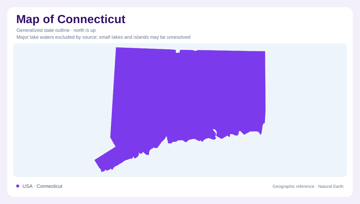
A compact state with a divided landscape
Connecticut's southern shoreline faces Long Island Sound, while its interior contains wooded uplands and a distinctive central valley landscape. Short statewide distances should not suggest uniform terrain across hills and lowlands. The rocks beneath the Connecticut River Valley differ from much of the surrounding country, and glaciers later modified both uplands and valleys. Along the shore, rocky ground, sandy beaches, and marshes meet within relatively confined areas. The state's outline establishes its compact setting, but these internal contrasts explain its geographical character more clearly. Understanding Connecticut requires attention to the arrangement of rock belts and river corridors as well as its coastal position.
A valley inherited from continental stretching
The central valley occupies an ancient geological trough formed as the continent stretched and fractured. Sediment washed from neighboring highlands into the lowering basin, while lava entered through deep fractures. These events produced alternating sedimentary rocks and basalt flows. Later movement tilted the sequence eastward, and erosion exposed resistant layers as ridges within the valley region. Penwood State Park in Bloomfield lies in the Talcott Mountain Range and offers a concrete example of this structure. Its basalt and sedimentary rocks connect today's wooded ridge scenery with a much older episode of continental breakup, rather than recent volcanic activity.
Western streams cut through metamorphic rocks
Western Connecticut presents a different geological story. At Kent Falls, Falls Brook descends through a series of cascades before reaching the Housatonic River. Differences in resistance between rock layers help produce the stepped profile. Marble at the falls originated as carbonate material that was transformed by heat and pressure during mountain building. This contrasts with the lava and basin sediments of central Connecticut. The falls also illustrate a useful drainage relationship: a relatively small upland stream can have a steep local descent before joining a larger valley river. Regional relief and individual waterfall height describe different aspects of that landscape.
Ice left more than exposed bedrock
Continental glaciation reshaped Connecticut along with the surrounding New England region. Moving ice scoured older surfaces and left a cover of mixed debris, while meltwater sorted other material into sand and gravel deposits. These materials affect the shape of valleys and the movement of groundwater. A smooth valley floor may therefore conceal a much more irregular bedrock surface beneath accumulated sediment. The distinction between bedrock and surface deposits is especially useful in Connecticut, where ancient geological structures coexist with much younger glacial landforms. Neither layer alone explains the combination of rounded uplands, sediment filled valleys, and exposed rocky ridges.
The Sound shore at Hammonasset
Hammonasset Beach in Madison brings several coastal environments together beside Long Island Sound. Sandy shore gives way to rocky ground around Meigs Point, while salt marshes occupy sheltered areas behind the waterfront. Forest and brackish tidal habitats add further variety within the same coastal setting. The Sound shoreline consequently cannot be reduced to a continuous band of beach. Its small headlands, wetlands, and contrasting ground surfaces create a finer geographical pattern. Comparing Hammonasset with Penwood's ridges and Kent's cascades connects three scales of Connecticut geography: a marine margin, a central geological basin, and western tributary valleys shaped by resistant rock.