A dispersed Pacific country
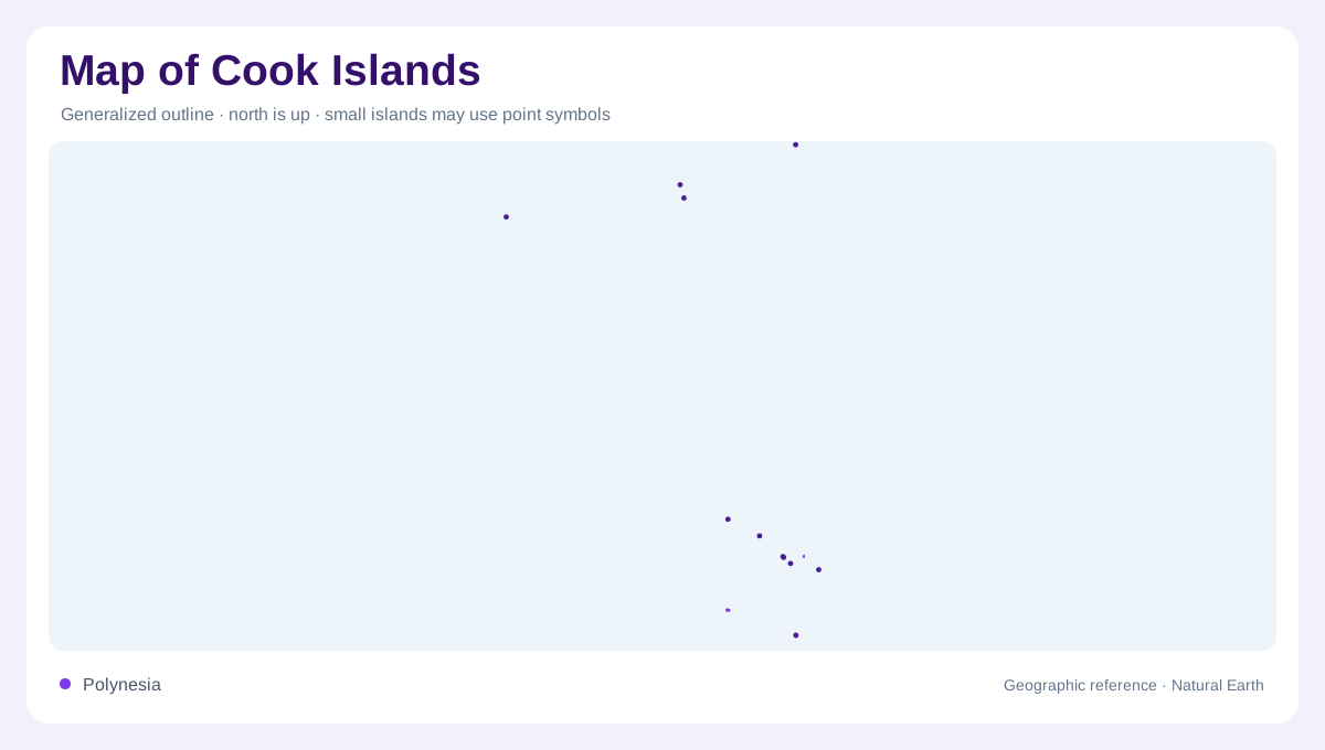
The Cook Islands consist of fifteen widely scattered islands divided into northern and southern groups. Their combined dry land is small compared with the ocean separating them. A compact cluster of symbols can therefore misrepresent the geography unless the distances between groups remain apparent. The northern islands are mainly atolls, while the southern group contains several different island forms. This contrast provides a useful starting point for reading the country. Its geographic identity depends on dispersion and diversity together: not one continuous landmass, and not fifteen identical rings of coral arranged around a central island in the same local lagoon.
Northern atolls emphasize marine space
In the northern group, low atoll landscapes support comparatively limited terrestrial habitats alongside extensive marine environments. The lagoon, reef and open ocean are fundamental parts of each island setting. An outline showing only dry land can leave the central geographic structure almost invisible. Atolls also require a distinction between reef surfaces and emergent islands: the continuous reef framework may contain separated pieces of land. Their small elevation contrasts with the depth and breadth of the surrounding sea. Reading these northern islands through the relationship between land and water therefore reveals more than a national land area figure could communicate alone.
Rarotonga's high island environment
Rarotonga differs from the northern atolls because it is a high island. Its elevated interior supports a richer terrestrial flora and fauna than the lower island forms described in the national biodiversity profile. That contrast links relief with ecological variety. The interior and coast belong to different local environments even within a compact island outline. A map focused only on coastal settlement would miss the significance of higher ground behind it. Rarotonga should consequently retain its own physical identity within the southern group, rather than serving as a generic stand in for every island belonging to the wider Cook Islands.
Raised islands add another southern pattern
Mangaia, Atiu, Mauke and Mitiaro are raised islands in the southern group. Their form differs from both Rarotonga's high island setting and the low northern atolls. The shared regional grouping therefore does not imply identical geology or habitat. These islands deserve individual outlines and labels, particularly on maps that might otherwise emphasize only the best known lagoon destinations. Their terrestrial environments contribute substantially to the country's biodiversity. Comparing them with Rarotonga makes the southern group more intelligible: several island forms coexist within one broad region, and those physical differences help explain why the distribution of plants and animals varies among them.
Lagoon landscapes around the southern atolls
Palmerston and Manuae are atolls with important lagoon and nearshore marine environments, while Aitutaki has an almost atoll form. These examples complicate any simple equation of north with atolls and south with high islands. The southern group includes both raised land and lagoon dominated settings. A geographic overview should preserve that overlap, rather than forcing every island into one regional stereotype. Marine habitats also extend beyond the beach edge and may occupy far more space than the emergent land. Bringing northern atolls, Rarotonga, raised islands and southern lagoons together gives a complete account of the country's principal geographic contrasts.