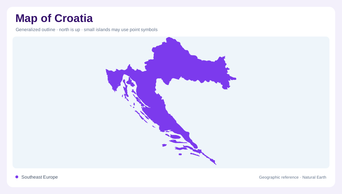
Three physical regions in one outline
Croatia's broad horseshoe shape links northeastern lowlands with central mountains and a long Adriatic margin. Slavonia belongs to the Pannonian plain country between the Drava and Sava, while Lika and Gorski Kotar introduce mountainous terrain farther west. Istria and Dalmatia add the coastal dimension. These regions explain why a comparatively small national area contains such different landscapes. Zagreb, Vukovar and Dubrovnik help orient the outline, but their positions alone do not reveal the intervening terrain. The physical framework is a combination of lowland, Dinaric mountain and Adriatic coastal environments, with transitions rather than one uniform surface between the named places.
Rivers reaching a distant Black Sea
The Sava and Drava belong to the Danube drainage system, directing much inland water toward the Black Sea rather than the nearby Adriatic. The Mura feeds the Drava, while the Kupa and other tributaries contribute to the Sava. This distinction gives continental Croatia an outward orientation different from its coastline. Floodplains accompany the major rivers, and wooded hills rise locally from surrounding lower ground. Papuk and Psunj illustrate uplands within the broader Pannonian region. A lowland label therefore does not mean every part is level. The combination of river plains and isolated hills creates a varied inland landscape behind the coast.
Water moves through the Dinaric karst
Limestone and dolomite support extensive karst landscapes across the mountainous and coastal regions. Water can disappear underground, move through fractures and caves, then return in springs. Surface drainage may consequently look sparse despite substantial subsurface water movement. Sinkholes, enclosed fields and caves belong to the same geological process. Velebit and Dinara are prominent mountain references, while Gorski Kotar contains deeply cut river valleys. The karst region extends beyond Croatia into neighboring countries, so it is a geological province rather than a national category. Reading only surface streams would miss an important part of the water system beneath this terrain.
A shoreline parallel to elongated islands
Along much of the Adriatic margin, islands extend roughly parallel to the coast, separated by channels. This arrangement records the flooding of earlier valleys and basins as sea level rose. It creates the distinctive Dalmatian pattern of long landforms and intervening water. Most islands share the limestone character of the coast, but Jabuka and Brusnik have volcanic origins, while Susak is sandy. Such exceptions make the island geography more interesting than a count alone. An overview should preserve the parallel alignment without fusing neighboring islands, since the channels are integral to the landscape rather than gaps between otherwise continuous land.
Short coastal rivers and contrasting lakes
The Krka, Cetina, Zrmanja and Mirna belong to Adriatic drainage, generally following shorter and steeper courses than the inland Danube tributaries. The Neretva reaches the sea through the southern coastal region after flowing mainly outside Croatia. Lakes introduce another set of distinctions: Vransko near Biograd is a natural lake, while Peruca on the Cetina is a reservoir. The Plitvice Lakes occupy a different inland setting in Lika. Their shared blue color cannot express these origins and relationships. Together, continental rivers, subterranean karst water and Adriatic outlets explain why Croatia's hydrology is divided between two substantially different geographic directions and environments.