An archipelago at the Gulf's entrance
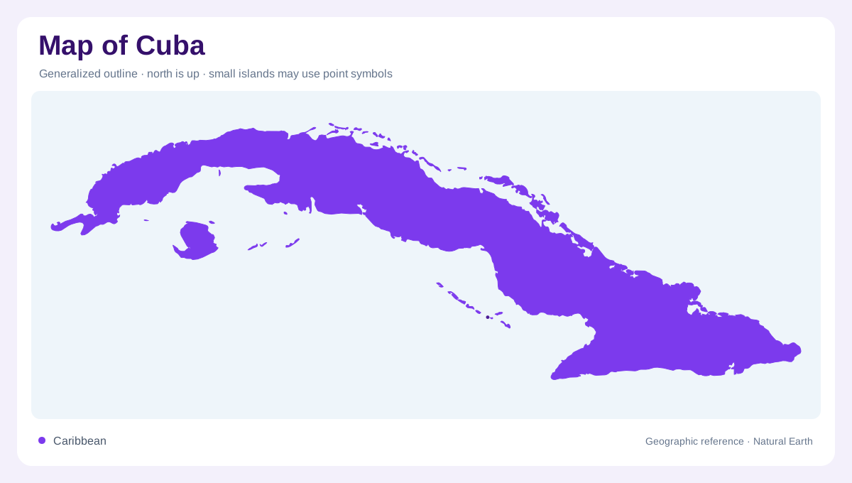
Cuba is an archipelago, not just the large elongated island carrying the country's name. Isla de la Juventud and numerous smaller cays form additional components around the main landmass. Its position near the entrance to the Gulf of Mexico places it at a major junction within the wider Caribbean region. A national outline that omits the smaller islands loses part of that marine geography. The main island's long shape also creates a different spatial pattern from a compact circular island: western, central and eastern regions are separated by considerable distance while the north and south coasts remain close together.
Four mountain areas within broad lowlands
Much Cuban terrain is comparatively level, but several distinct mountain groups interrupt that broad pattern. Guaniguanico occupies the west, Guamuhaya rises in the central south, and Nipe Sagua Baracoa forms an eastern upland region. The Sierra Maestra provides another eastern mountain area and contains Pico Turquino, the island's highest summit. These groups should not be joined mentally into one continuous mountain spine. Their separation leaves extensive lower country between them. A physical map can make this especially clear by showing relief rather than coloring the whole island according to its most dramatic peaks. Cuba combines plains with several localized mountain landscapes.
Northward and southward drainage
A longitudinal watershed divides much of the main island's drainage between northern and southern slopes. Numerous short rivers descend toward the surrounding sea, reflecting the island's narrowness compared with its length. The Cauto is a prominent exception in scale, forming Cuba's longest river within the eastern region. Its catchment deserves attention beyond the simple north versus south division. Tributaries, valleys and reservoirs create a more complex water landscape than a line drawn straight from mountain to coast. The watershed is therefore a useful starting framework, but individual river basins explain the important differences between particular parts of the island.
Juventud and smaller offshore landforms
Isla de la Juventud has a separate drainage pattern, with waterways radiating across its own terrain. The Las Casas River is one named feature identified in FAO's account. This island cannot be understood merely as a detached continuation of the main island's longitudinal watershed. The many smaller cays add further offshore diversity, often requiring a closer coastal scale to distinguish individual outlines. On a national overview, groups of tiny landforms may appear as continuous marks even where water separates them. Keeping Juventud and the cays visible preserves the difference between a large subsidiary island and numerous much smaller offshore components.
Lakes, reservoirs and the visible water pattern
Laguna de Leche, also known as Laguna Grande, is a major natural lake in Cuba's water geography. Reservoirs such as Zaza and Hanabanilla represent a different category, occupying managed river settings. They should not all be interpreted as equivalent natural lakes merely because they share a map color. Stored water can enlarge the apparent surface footprint of a river while leaving its broader catchment unchanged. Comparing these water bodies with the four mountain areas and the north to south drainage divide connects Cuba's inland geography. The archipelago then emerges as several related landscapes rather than one uninterrupted island with uniform terrain.