More than one Caribbean shoreline
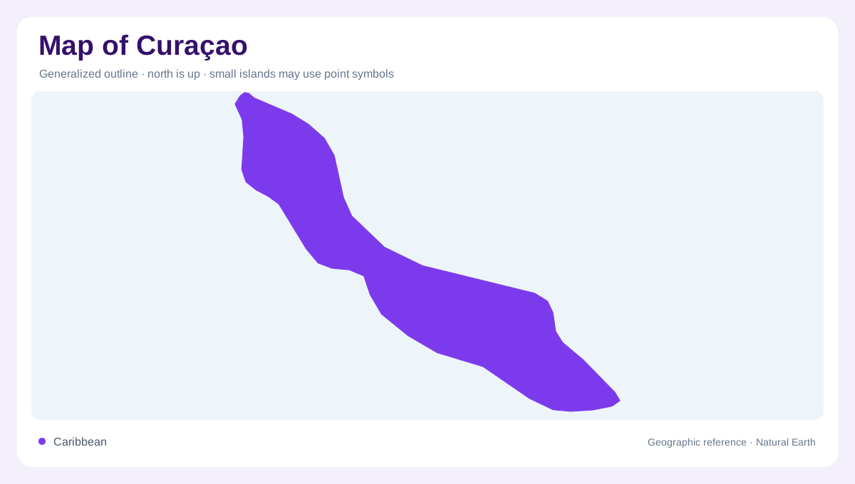
Curaçao is a Caribbean island whose geography also includes the smaller Klein Curaçao to its southeast. That separate island should remain visible in a territorial overview, even when the main island occupies most of the map. On Curaçao itself, coastal and inland environments differ sharply: exposed rock, limestone terraces, hills and sheltered wetland settings coexist within a relatively compact outline. Freshwater is scarce, making its local occurrence especially significant. The island is therefore not adequately described by beaches alone. Reading its relief together with the distribution of fresh and saline water reveals a landscape of contrasts at close quarters.
The exposed northwest and its bokas
Northwestern Curaçao includes a rocky coast exposed to waves, interrupted by pocket beaches known as bokas. Parts of Shete Boka and Christoffel parks fall within this varied landscape. Coastal limestone terraces contrast with inland hills, where woodland and shrub vegetation occupy different settings. The coastline is not a continuous sandy margin: small openings punctuate longer stretches of rock. Offshore reefs and coastal lagoons add submerged and sheltered habitats beside the exposed shore. This combination makes the northwest a particularly useful place to distinguish the visible land edge from the wider coastal environment that extends both inland and beneath the water.
Freshwater stored among low hills
Muizenberg presents another side of Curaçao's water geography. Its shallow, intermittent lake formed behind a dam across a stream draining surrounding low hills. Grassland and shrubland around the water are periodically inundated, while the smaller Kaya Fortuna pond lies nearby. These features show why a blue patch on a map need not represent a permanent natural lake. Both human intervention and changing water availability help explain its form. Elsewhere in the northwest, dams retain rainwater after the wet season, and groundwater supports local vegetation. Such pockets of moisture stand out within an island where freshwater has considerable ecological importance.
Malpais and Sint Michiel's contrasting waters
Malpais, north of Sint Michiel, combines freshwater lakes with nearby dry vegetation and woodland. The Sint Michiel lagoon is highly saline and connects to a bay containing coral reefs. Freshwater and saltwater habitats thus occur within the same local geographic setting without being interchangeable. Water entering the ground also helps replenish underground reserves that support vegetation. A detailed map can show proximity, but the hydrological distinction needs words: a lake, lagoon and reef bay have different relationships with rainfall, groundwater and seawater. Around Malpais and Sint Michiel, those relationships explain more than simply marking every aquatic feature with identical blue coloring.
Rif-Sint Marie and the offshore scale
Rif-Sint Marie brings a salt marsh, mudflats, shrubland and woodland into another coastal combination. Its adjoining reef belongs to the same broader environment, although much of that habitat lies beyond the shoreline shown on land maps. Flamingos use the marsh, linking an inland looking wetland to Curaçao's wider coastal ecology. Klein Curaçao adds a different scale of separation: it lies across open water southeast of the main island, not within one of these bays. Keeping the offshore island distinct while recognizing the main island's varied water settings produces a fuller geographic portrait, from small freshwater depressions to the surrounding Caribbean Sea.